Galeton — Uniontown
Galeton — Cedar Park
Galeton — Crane
Galeton — Norwell
Galeton — Saint Robert
Galeton — Leeper
Galeton — Mettawa
Galeton — Los Angeles
Galeton — Avondale
Galeton — Signal Mountain
Galeton — St. James Restaurant and Cabaret
Galeton — Forsyth
Galeton — Hardinsburg
Galeton — Rickreall
Galeton — Trampas
Galeton — Ardon
Galeton — White Post
Galeton — Wells County
Galeton — Sidell
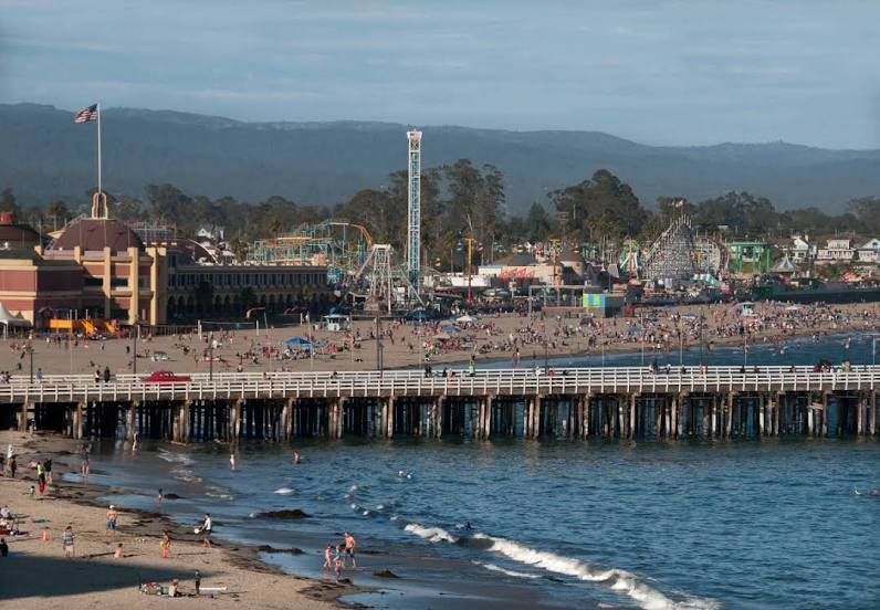
Galeton — Santa Cruz distance, route on the map
Distance by car
Distance between Galeton, Pennsylvania, United States and Santa Cruz, California, United States by car is — km, or miles. To travel this distance by car, you need minute, or h.
Route on the map, driving directions
Car route Galeton — Santa Cruz was created automatically. The road on the map is shown as a blue line. By moving the markers, you can create a new route through the points you need.
Distance by plane
If you decide to take a trip Galeton Santa Cruz by plane, then you have to fly the distance — 3812 km or 2363 miles. It is marked on the map with a gray line (between two points in a straight line).
Flight time
Estimated flight time Galeton Santa Cruz by plane at cruising speed 750 km / h will be — 5 h. and 4 min.
Direction of movement
United States, Galeton — right-hand traffic. United States, Santa Cruz — right-hand traffic.
Difference in time
Galeton and Santa Cruz are in different time zones. The time difference is 3 hours (UTC -4 America/New_York, UTC -7 America/Los_Angeles).
Interesting Facts
Information on alternative ways to get to your destination.
The length of this distance is about 9.5% of the total length of the equator.
The percentage of the population is clearly shown in the graph:
Galeton — 1,149 (less by 53,468), Santa Cruz — 54,617 residents.
The cost of travel
Calculate the cost of the trip yourself using the fuel consumption calculator, changing the data in the table.