Beveren — Les Avins
Beveren — Fouches
Beveren — Burdinne
Beveren — Baileux
Beveren — Thys
Beveren — Bovesse
Beveren — Aisne
Beveren — Olloy-sur-Viroin
Beveren — Robelmont
Beveren — Zedelgem
Beveren — Couture-Saint-Germain
Beveren — Fays-les-Veneurs
Beveren — Deurne
Beveren — Libramont
Beveren — Manhay
Beveren — Ambresin
Beveren — Engreux
Beveren — Châtillon
Beveren — Ruette
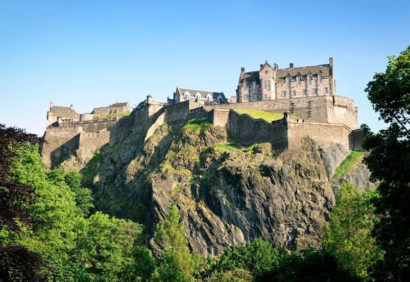
Beveren — Edinburgh distance, route on the map
Distance by car
Distance between Beveren, Flanders, Belgium and Edinburgh, Scotland, United Kingdom by car is — km, or miles. To travel this distance by car, you need minute, or h.
Route on the map, driving directions
Car route Beveren — Edinburgh was created automatically. The road on the map is shown as a blue line. By moving the markers, you can create a new route through the points you need.
Distance by plane
If you decide to take a trip Beveren Edinburgh by plane, then you have to fly the distance — 720 km or 446 miles. It is marked on the map with a gray line (between two points in a straight line).
Flight time
Estimated flight time Beveren Edinburgh by plane at cruising speed 750 km / h will be — 57 min.
Direction of movement
Belgium, Beveren — right-hand traffic. United Kingdom, Edinburgh — left-hand traffic.
Difference in time
Beveren and Edinburgh are in different time zones. The time difference is 1 hour (UTC +2 Europe/Brussels, UTC +1 Europe/London).
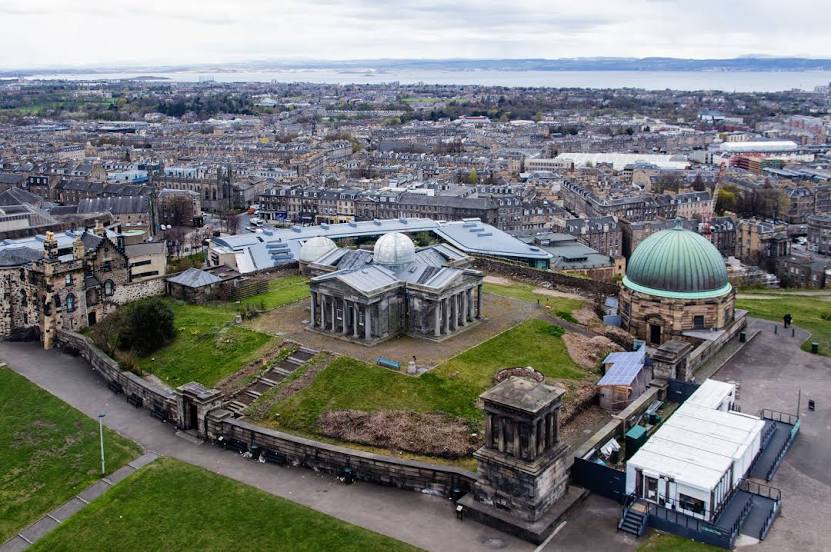
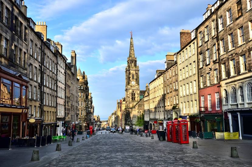
Interesting Facts
Information on alternative ways to get to your destination.
The length of this distance is about 1.8% of the total length of the equator.
The percentage of the population is clearly shown in the graph:
Beveren — 45,179 (less by 390,612), Edinburgh — 435,791 residents.
The cost of travel
Calculate the cost of the trip yourself using the fuel consumption calculator, changing the data in the table.