
 Selva di Val Gardena
Larino
Castel Volturno
Lecco
Crotone
Limena
Mergozzo
Legnago
Map
Arc
Castel D'Azzano
Passo di Treia
Exits
Lawn
Lampedusa
Sigonella
Palazzo Adriano
Trapani
Olbia
Selva di Val Gardena
Larino
Castel Volturno
Lecco
Crotone
Limena
Mergozzo
Legnago
Map
Arc
Castel D'Azzano
Passo di Treia
Exits
Lawn
Lampedusa
Sigonella
Palazzo Adriano
Trapani
Olbia
Castelfidardo on the map, Italy
Where is located Castelfidardo
Exact location — Castelfidardo, Province of Ancona, Marche, Italy, marked on the map with a red marker.
Coordinates
Castelfidardo, Italy coordinates in decimal format: latitude — 43.4631153, longitude — 13.5514218. When converted to degrees, minutes, seconds Castelfidardo has the following coordinates: 43°27′47.22 north latitude and 13°33′5.12 east longitude.
Population
Castelfidardo, Province of Ancona, Marche, Italy, according to our data the population is — 14,892 residents, which is about 0% of the total population of the country (Italy).
Comparison of the population on the graph:
Exact time
Time zone for this location Castelfidardo — UTC +2 Europe/Rome. Exact time — sunday, 6 june 2024 year, 20 h. 10 minutes.
Sunrise and sunset
Castelfidardo, sunrise and sunset data for a date — sunday 2.06.2024.
| Sunrise | Sunset | Day (duration) |
|---|---|---|
| 05:30 -1 minute | 20:36 -0 minutes | 15 h. 6 minutes. +1 minute |
You can control the scale of the map using the auxiliary tools to find out exactly where it is located Castelfidardo. When you change the scale of the map, the width of the ruler also changes (in kilometers and miles).
Nearby cities
The largest cities that are located nearby:
- Ancona — 17 km
- Perugia — 101 km
- Rimini — 103 km
- Pescara — 123 km
- Terni — 124 km
- Forli — 146 km
- Ravenna — 150 km
- Florence — 186 km
- Prato — 201 km
- Bologna — 208 km
- Ferrara — 215 km
- Rijeka
 (Croatia) — 217 km
 - Latina — 227 km
- Split (Croatia) — 232 km
- Venice — 239 km
- Trieste — 242 km
- Modena — 245 km
- Livorno — 260 km
- Foggia — 276 km
Distance to neighboring capitals:
- Ljubljana
 (Slovenia) — 298 km
 - Zagreb (Croatia) — 325 km
- Vaduz
 (Liechtenstein) — 516 km
 - Vienna
 (Austria) — 571 km
 - Bern
 (Switzerland) — 616 km
 - Berlin
 (Germany) — 1007 km
 - Paris
 (France) — 1049 km
 - Paris (France) — 1049 km
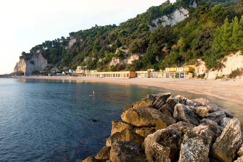
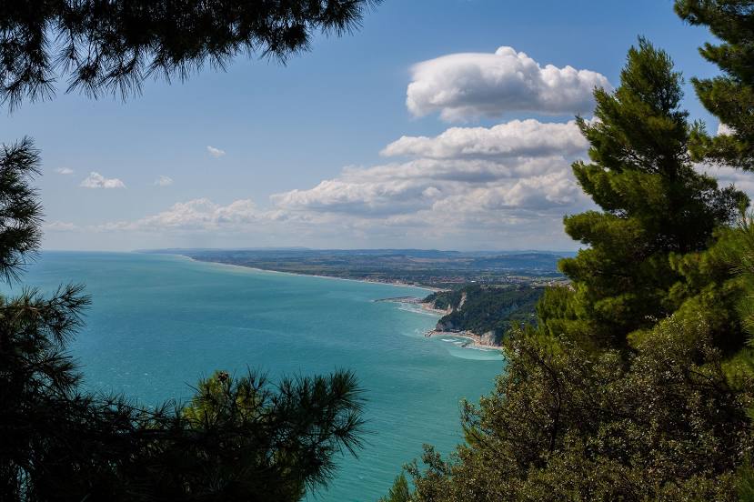
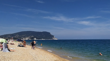
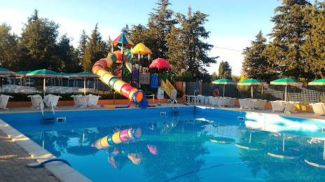
Attractions


Distance to the capital
Distance to the capital (Rome) is about — 194 km.