
 Rapolano Terme
San Quirico d'Orcia
Montalcino
Nazzano
Rignano sull'Arno
Tavullia
Mondavio
Fontanellato
Lanuvio
Noceto
Brembilla
Nicolosi
Magliano di Tenna
Montecassiano
Terrasini
Montecosaro
Folignano
Barcellona Pozzo di Gotto
Pian
Rapolano Terme
San Quirico d'Orcia
Montalcino
Nazzano
Rignano sull'Arno
Tavullia
Mondavio
Fontanellato
Lanuvio
Noceto
Brembilla
Nicolosi
Magliano di Tenna
Montecassiano
Terrasini
Montecosaro
Folignano
Barcellona Pozzo di Gotto
Pian
Portomaggiore on the map, Italy
Where is located Portomaggiore
Exact location — Portomaggiore, Ferrara, Emilia-Romagna, Italy, marked on the map with a red marker.
Coordinates
Portomaggiore, Italy coordinates in decimal format: latitude — 44.6976116, longitude — 11.8056851. When converted to degrees, minutes, seconds Portomaggiore has the following coordinates: 44°41′51.4 north latitude and 11°48′20.47 east longitude.
Population
Portomaggiore, Ferrara, Emilia-Romagna, Italy, according to our data the population is — 11,910 residents, which is about 0% of the total population of the country (Italy).
Comparison of the population on the graph:
Exact time
Time zone for this location Portomaggiore — UTC +2 Europe/Rome. Exact time — friday, 7 july 2024 year, 04 h. 40 minutes.
Sunrise and sunset
Portomaggiore, sunrise and sunset data for a date — friday 12.07.2024.
| Sunrise | Sunset | Day (duration) |
|---|---|---|
| 05:43 +1 minute | 20:53 -1 minute | 15 h. 12 minutes. -2 minutes |
You can control the scale of the map using the auxiliary tools to find out exactly where it is located Portomaggiore. When you change the scale of the map, the width of the ruler also changes (in kilometers and miles).
Nearby cities
The largest cities that are located nearby:
- Ferrara — 21 km
- Bologna — 43 km
- Ravenna — 44 km
- Forli — 56 km
- Modena — 70 km
- Venice — 91 km
- Rimini — 92 km
- Vicenza — 96 km
- Verona — 103 km
- Prato — 107 km
- Florence — 112 km
- Parma — 117 km
- Brescia — 155 km
- Trento — 161 km
- Livorno — 175 km
- Perugia — 182 km
- Ancona — 182 km
- Trieste — 185 km
- Bergamo — 198 km
Distance to neighboring capitals:
- Ljubljana
 (Slovenia) — 260 km
 - Vaduz
 (Liechtenstein) — 324 km
 - Zagreb
 (Croatia) — 350 km
 - Bern
 (Switzerland) — 421 km
 - Vienna
 (Austria) — 524 km
 - Paris
 (France) — 855 km
 - Paris (France) — 855 km
- Berlin
 (Germany) — 878 km
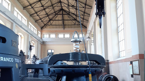
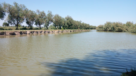
Attractions

Distance to the capital
Distance to the capital (Rome) is about — 316 km.