
 Medesano
Giuliana
Buti
Luco dei Marsi
Cerreto Guidi
Foglizzo
Bulla
Popoli
Carsoli
Giave
Collazzone
Sogliano Al Rubicone
Pulsano
Calangianus
Striano
Scafa
Sarroch
Ercolano
Frattaminore
Medesano
Giuliana
Buti
Luco dei Marsi
Cerreto Guidi
Foglizzo
Bulla
Popoli
Carsoli
Giave
Collazzone
Sogliano Al Rubicone
Pulsano
Calangianus
Striano
Scafa
Sarroch
Ercolano
Frattaminore
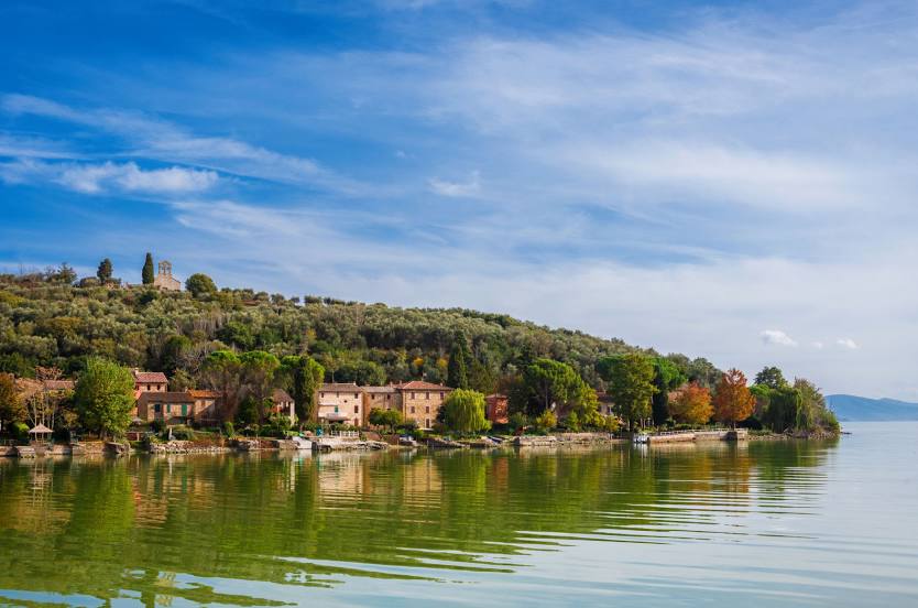
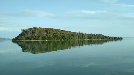
Castiglione del Lago on the map, Italy
Where is located Castiglione del Lago
Exact location — Castiglione del Lago, Perugia, Umbria, Italy, marked on the map with a red marker.
Coordinates
Castiglione del Lago, Italy coordinates in decimal format: latitude — 43.1264498, longitude — 12.0478399. When converted to degrees, minutes, seconds Castiglione del Lago has the following coordinates: 43°7′35.22 north latitude and 12°2′52.22 east longitude.
Population
Castiglione del Lago, Perugia, Umbria, Italy, according to our data the population is — 15,309 residents, which is about 0% of the total population of the country (Italy).
Comparison of the population on the graph:
Exact time
Time zone for this location Castiglione del Lago — UTC +2 Europe/Rome. Exact time — sunday, 6 june 2024 year, 20 h. 30 minutes.
Sunrise and sunset
Castiglione del Lago, sunrise and sunset data for a date — sunday 2.06.2024.
| Sunrise | Sunset | Day (duration) |
|---|---|---|
| 05:37 -1 minute | 20:41 -0 minutes | 15 h. 6 minutes. +1 minute |
You can control the scale of the map using the auxiliary tools to find out exactly where it is located Castiglione del Lago. When you change the scale of the map, the width of the ruler also changes (in kilometers and miles).
Nearby cities
The largest cities that are located nearby:
- Perugia — 28 km
- Terni — 79 km
- Florence — 95 km
- Rimini — 112 km
- Prato — 112 km
- Forli — 121 km
- Ancona — 130 km
- Ravenna — 143 km
- Livorno — 147 km
- Bologna — 161 km
- Modena — 190 km
- Pescara — 192 km
- Ferrara — 192 km
- Latina — 197 km
- Parma — 229 km
- Venice — 257 km
- Verona — 268 km
- Vicenza — 270 km
- Genoa — 283 km
Distance to neighboring capitals:
- Ljubljana
 (Slovenia) — 380 km
 - Zagreb
 (Croatia) — 432 km
 - Vaduz
 (Liechtenstein) — 489 km
 - Bern
 (Switzerland) — 558 km
 - Vienna
 (Austria) — 657 km
 - Paris
 (France) — 982 km
 - Paris (France) — 982 km
- Berlin
 (Germany) — 1050 km
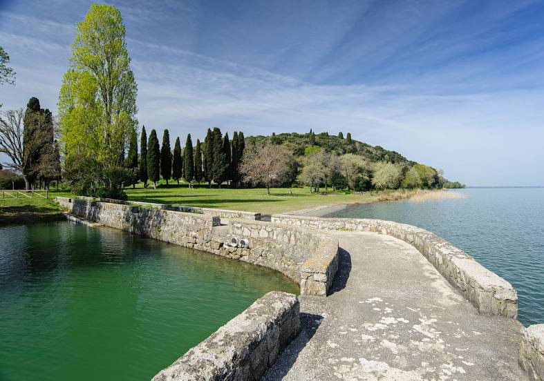
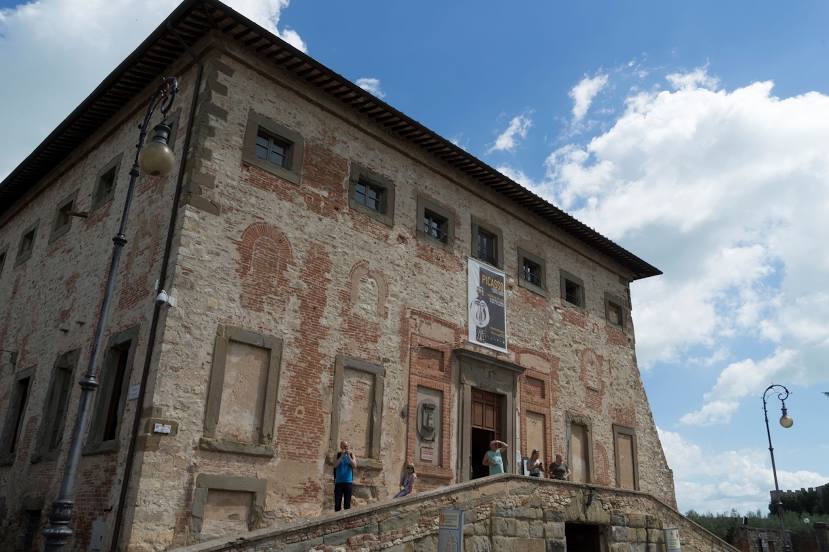
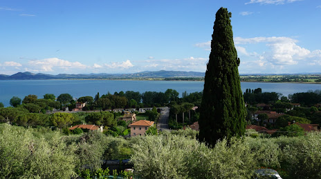
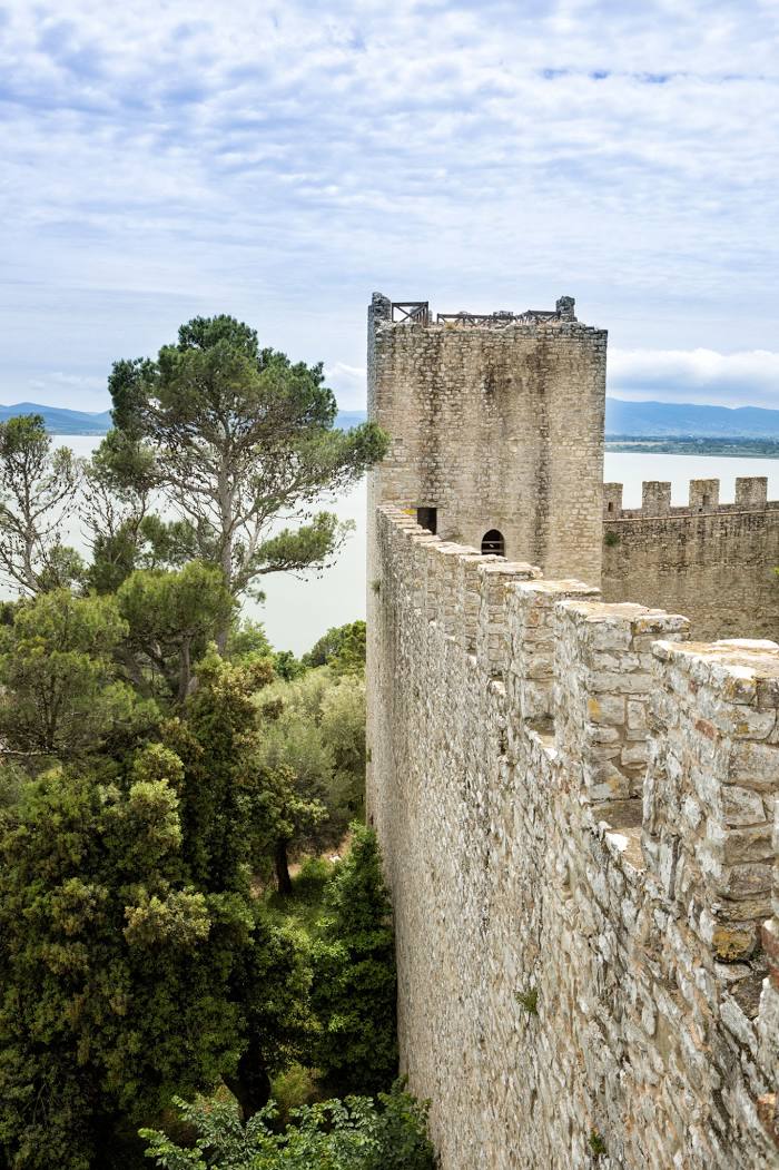
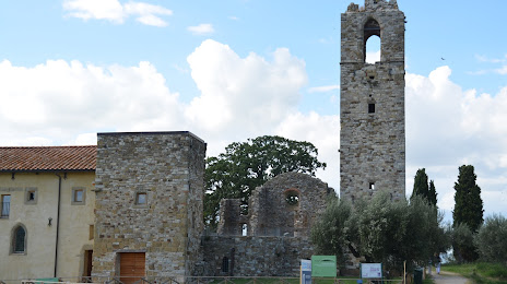
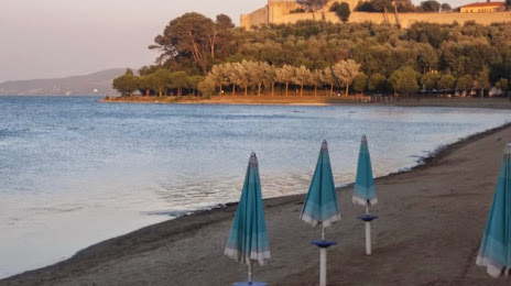
Attractions

Distance to the capital
Distance to the capital (Rome) is about — 141 km.