 Flintshire
Driffield
Portsmouth
Dover
Ipswich
Dundee
Swaton
Montgomery
London
Maypole
Weymouth
Edinburgh
Tilton on the Hill
Medstead
London
Margate
York
Saint Ives
Great Britain
Flintshire
Driffield
Portsmouth
Dover
Ipswich
Dundee
Swaton
Montgomery
London
Maypole
Weymouth
Edinburgh
Tilton on the Hill
Medstead
London
Margate
York
Saint Ives
Great Britain
Aldershot on the map, United Kingdom
Where is located Aldershot
Exact location — Aldershot, Hampshire, England, UK, marked on the map with a red marker.
Coordinates
Aldershot, United Kingdom coordinates in decimal format: latitude — 51.248366, longitude — -0.7557509. When converted to degrees, minutes, seconds Aldershot has the following coordinates: 51°14′54.12 north latitude and -0°45′20.7 east longitude.
Population
Aldershot, Hampshire, England, UK, according to our data the population is — 61,339 residents, which is about 0.1% of the total population of the country (United Kingdom).
Comparison of the population on the graph:
Exact time
Time zone for this location Aldershot — UTC +1 Europe/London. Exact time — friday, 4 april 2024 year, 15 h. 15 minutes.
Sunrise and sunset
Aldershot, sunrise and sunset data for a date — friday 26.04.2024.
| Sunrise | Sunset | Day (duration) |
|---|---|---|
| 05:47 -2 minutes | 20:13 +1 minute | 14 h. 24 minutes. +3 minutes |
You can control the scale of the map using the auxiliary tools to find out exactly where it is located Aldershot. When you change the scale of the map, the width of the ruler also changes (in kilometers and miles).
Nearby cities
The largest cities that are located nearby:
- Reading — 27 km
- Slough — 31 km
- Sutton — 41 km
- Crawley — 42 km
- Watford — 52 km
- Portsmouth — 53 km
- Southampton — 59 km
- Oxford — 65 km
- Luton — 73 km
- Swindon — 78 km
- Eastbourne — 90 km
- Gillingham — 91 km
- Basildon — 93 km
- Bournemouth — 98 km
- Chelmsford — 100 km
- Southend-on-Sea — 106 km
- Northampton — 110 km
- Cheltenham — 115 km
- Cambridge — 121 km
Distance to neighboring capitals:
- Paris
 (France) — 346 km
 - Paris (France) — 346 km
- Brussels
 (Belgium) — 360 km
 - Amsterdam
 (Netherlands) — 408 km
 - Dublin
 (Ireland) — 441 km
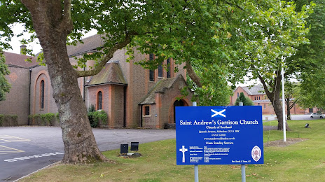
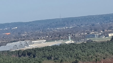
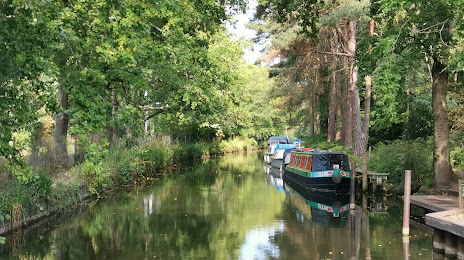
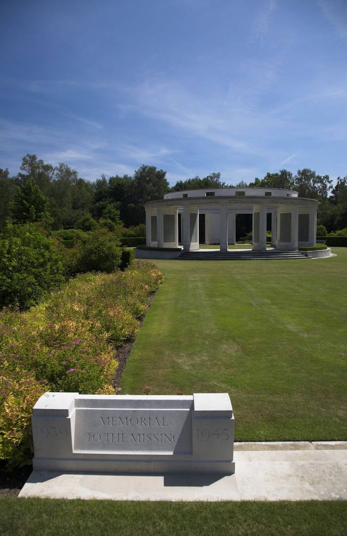
Attractions


Distance to the capital
Distance to the capital (London) is about — 52 km.