Aloha — Oakesdale
Aloha — La Joya
Aloha — Alcoa
Aloha — White River
Aloha — Castro County
Aloha — South Barre
Aloha — Rootstown
Aloha — Hampshire
Aloha — Harristown
Aloha — Round Mountain
Aloha — Matagorda
Aloha — Parris Iceland
Aloha — Grundy
Aloha — Sost
Aloha — Ritchie
Aloha — Emden
Aloha — Rio Dell
Aloha — Sparrow Bush
Aloha — Glen Burnie
Tigard
Tualatin
Wilsonville
Aurora
Woodburn
Keizer
Albany
Tangent
Shedd
Brownsville
Eugene
Springfield
Creswell
Cottage Grove
Curtin
Anlauf
Yoncalla
Sutherlin
Roseburg
Oaks
Winston
Canyonville
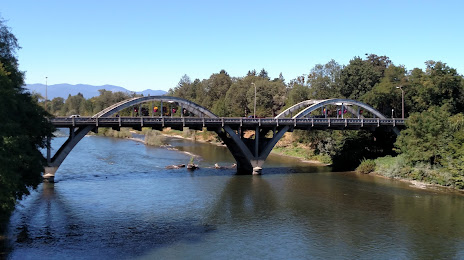
Aloha — Grants Pass distance, route on the map
Distance by car
Distance between Aloha, Oregon, United States and Grants Pass, Oregon, United States by car is — km, or miles. To travel this distance by car, you need minute, or h.
Route on the map, driving directions
Car route Aloha — Grants Pass was created automatically. The road on the map is shown as a blue line. By moving the markers, you can create a new route through the points you need.
Passing cities through which the car route passes: Beaverton, Tigard, Tualatin, Wilsonville, Aurora, Woodburn, Keizer, Albany, Tangent, Shedd, Brownsville, Eugene, Springfield, Creswell, Cottage Grove, Curtin, Anlauf, Yoncalla, Sutherlin, Roseburg, Oaks, Winston, Canyonville.
Distance by plane
If you decide to take a trip Aloha Grants Pass by plane, then you have to fly the distance — 342 km or 212 miles. It is marked on the map with a gray line (between two points in a straight line).
Flight time
Estimated flight time Aloha Grants Pass by plane at cruising speed 750 km / h will be — 27 min.
Direction of movement
United States, Aloha — right-hand traffic. United States, Grants Pass — right-hand traffic.
Difference in time
Aloha and Grants Pass are in the same time zone. Between them there is no time difference (UTC -7 America/Los_Angeles).
Interesting Facts
Information on alternative ways to get to your destination.
The length of this distance is about 0.9% of the total length of the equator.
The percentage of the population is clearly shown in the graph:
Aloha — 49,425, Grants Pass — 27,191 residents (less by 22,234).
The cost of travel
Calculate the cost of the trip yourself using the fuel consumption calculator, changing the data in the table.