Getafe — Falces
Getafe — Villaverde y Pasaconsol
Getafe — San Martín
Getafe — Píñar
Getafe — La Nucia
Getafe — Cetina
Getafe — Moral de Calatrava
Getafe — Cabezamesada
Getafe — Garde
Getafe — San Cibrao das Viñas
Getafe — Guarnizo
Getafe — Aldearrubia
Getafe — Solduengo
Getafe — Los Urrutias
Getafe — Alicante
Getafe — Garrovillas de Alconétar
Getafe — Eguíllor
Getafe — Argentona
Getafe — Castriḷḷón
Rivas-Vaciamadrid
San Fernando de Henares
Mejorada del Campo
San Fernando de Henares
Torrejón de Ardoz
Alcala de Henares
Meco
Azuqueca de Henares
Alovera
Cabanillas del Campo
Guadalajara
Valdenoches
Torija
Trijueque
Muduex
Mandayona
Algora
Alcolea del Pinar
Garbajosa
Arbujuelo
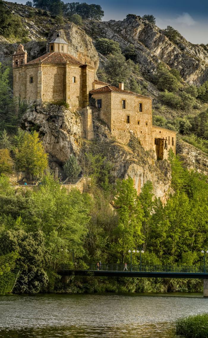
Medinaceli
Frechilla de Almazán
Almazán
Viana de Duero
Los Rábanos
Getafe — Falces
Getafe — Villaverde y Pasaconsol
Getafe — San Martín
Getafe — Píñar
Getafe — La Nucia
Getafe — Cetina
Getafe — Moral de Calatrava
Getafe — Cabezamesada
Getafe — Garde
Getafe — San Cibrao das Viñas
Getafe — Guarnizo
Getafe — Aldearrubia
Getafe — Solduengo
Getafe — Los Urrutias
Getafe — Alicante
Getafe — Garrovillas de Alconétar
Getafe — Eguíllor
Getafe — Argentona
Getafe — Castriḷḷón
Rivas-Vaciamadrid
San Fernando de Henares
Mejorada del Campo
San Fernando de Henares
Torrejón de Ardoz
Alcala de Henares
Meco
Azuqueca de Henares
Alovera
Cabanillas del Campo
Guadalajara
Valdenoches
Torija
Trijueque
Muduex
Mandayona
Algora
Alcolea del Pinar
Garbajosa
Arbujuelo
Medinaceli
Frechilla de Almazán
Almazán
Viana de Duero
Los Rábanos
Getafe — Soria distance, route on the map
Distance by car
Distance between Getafe, Comunidad de Madrid, Spain and Soria, Castilla y León, Spain by car is — km, or miles. To travel this distance by car, you need minute, or h.
Route on the map, driving directions
Car route Getafe — Soria was created automatically. The road on the map is shown as a blue line. By moving the markers, you can create a new route through the points you need.
Passing cities through which the car route passes: Villaverde, Rivas-Vaciamadrid, San Fernando de Henares, Mejorada del Campo, San Fernando de Henares, Torrejón de Ardoz, Alcala de Henares, Meco, Azuqueca de Henares, Alovera, Cabanillas del Campo, Guadalajara, Valdenoches, Torija, Trijueque, Muduex, Mandayona, Algora, Alcolea del Pinar, Garbajosa, Arbujuelo, Medinaceli, Frechilla de Almazán, Almazán, Viana de Duero, Los Rábanos.
Distance by plane
If you decide to take a trip Getafe Soria by plane, then you have to fly the distance — 193 km or 120 miles. It is marked on the map with a gray line (between two points in a straight line).
Flight time
Estimated flight time Getafe Soria by plane at cruising speed 750 km / h will be — 15 min.
Direction of movement
Spain, Getafe — right-hand traffic. Spain, Soria — right-hand traffic.
Difference in time
Getafe and Soria are in the same time zone. Between them there is no time difference (UTC +2 Europe/Madrid).
Interesting Facts
Information on alternative ways to get to your destination.
The length of this distance is about 0.5% of the total length of the equator.
The percentage of the population is clearly shown in the graph:
Getafe — 167,550, Soria — 35,129 residents (less by 132,421).
The cost of travel
Calculate the cost of the trip yourself using the fuel consumption calculator, changing the data in the table.