
 Francolise
Mordano
Pompiano
Canino
Segheria
Moncalvo
Monrupino
Collio
Vaiano
Palata
Vezzano Sul Crostolo
Casaloldo
Partinico
Fuscaldo
Puos D'alpago
Palestrina
Carpino
Nusco
Pollein
Francolise
Mordano
Pompiano
Canino
Segheria
Moncalvo
Monrupino
Collio
Vaiano
Palata
Vezzano Sul Crostolo
Casaloldo
Partinico
Fuscaldo
Puos D'alpago
Palestrina
Carpino
Nusco
Pollein
Civita Castellana on the map, Italy
Where is located Civita Castellana
Exact location — Civita Castellana, Viterbo, Lazio, Italy, marked on the map with a red marker.
Coordinates
Civita Castellana, Italy coordinates in decimal format: latitude — 42.2891482, longitude — 12.4143169. When converted to degrees, minutes, seconds Civita Castellana has the following coordinates: 42°17′20.93 north latitude and 12°24′51.54 east longitude.
Population
Civita Castellana, Viterbo, Lazio, Italy, according to our data the population is — 16,785 residents, which is about 0% of the total population of the country (Italy).
Comparison of the population on the graph:
Exact time
Time zone for this location Civita Castellana — UTC +2 Europe/Rome. Exact time — monday, 6 june 2024 year, 11 h. 42 minutes.
Sunrise and sunset
Civita Castellana, sunrise and sunset data for a date — monday 10.06.2024.
| Sunrise | Sunset | Day (duration) |
|---|---|---|
| 05:37 -0 minutes | 20:42 -0 minutes | 15 h. 6 minutes. -0 minutes |
You can control the scale of the map using the auxiliary tools to find out exactly where it is located Civita Castellana. When you change the scale of the map, the width of the ruler also changes (in kilometers and miles).
Nearby cities
The largest cities that are located nearby:
- Terni — 36 km
- Perugia — 91 km
- Latina — 99 km
- Pescara — 148 km
- Ancona — 171 km
- Florence — 188 km
- Rimini — 197 km
- Prato — 204 km
- Giugliano in Campania — 212 km
- Forli — 216 km
- Livorno — 219 km
- Naples — 222 km
- Ravenna — 236 km
- Bologna — 258 km
- Salerno — 266 km
- Foggia — 275 km
- Modena — 286 km
- Ferrara — 289 km
- Parma — 322 km
Distance to neighboring capitals:
- Ljubljana
 (Slovenia) — 451 km
 - Zagreb
 (Croatia) — 485 km
 - Vaduz
 (Liechtenstein) — 586 km
 - Bern
 (Switzerland) — 650 km
 - Vienna
 (Austria) — 727 km
 - Paris
 (France) — 1069 km
 - Paris (France) — 1069 km
- Berlin
 (Germany) — 1140 km
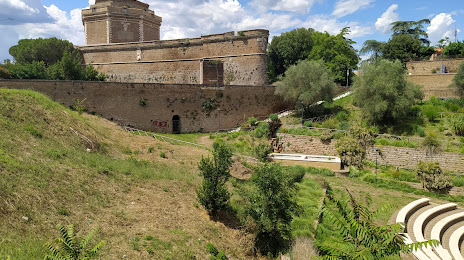
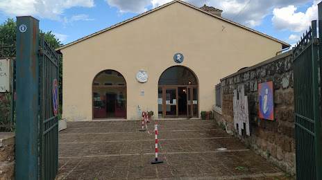
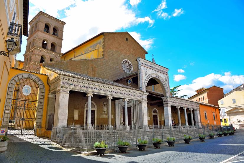
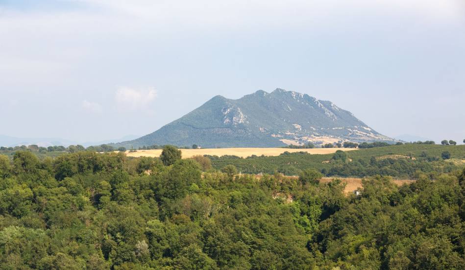
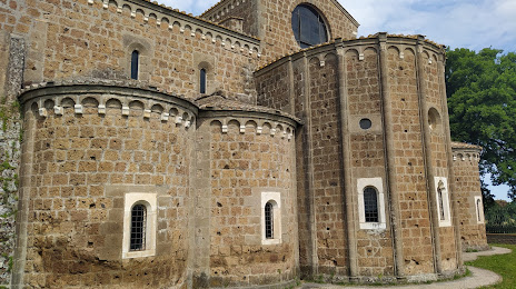
Attractions


Distance to the capital
Distance to the capital (Rome) is about — 44 km.