 Saint Andrews
Holmes Chapel
Berkeley
Kendal
Marham
Portmeirion
Blackburn
Forth
Saint Albans
Edinburgh
Deal
Brighton
Cheshunt
Olney
Canterbury
Milford on Sea
St Austell
Bristol
Enfield Town
Saint Andrews
Holmes Chapel
Berkeley
Kendal
Marham
Portmeirion
Blackburn
Forth
Saint Albans
Edinburgh
Deal
Brighton
Cheshunt
Olney
Canterbury
Milford on Sea
St Austell
Bristol
Enfield Town
Chester on the map, United Kingdom
Where is located Chester
Exact location — Chester, Cheshire West and Chester, England, United Kingdom, marked on the map with a red marker.
Coordinates
Chester, United Kingdom coordinates in decimal format: latitude — 53.193392, longitude — -2.893075. When converted to degrees, minutes, seconds Chester has the following coordinates: 53°11′36.21 north latitude and -2°53′35.07 east longitude.
Population
Chester, Cheshire West and Chester, England, United Kingdom, according to our data the population is — 77,040 residents, which is about 0.1% of the total population of the country (United Kingdom).
Comparison of the population on the graph:
Exact time
Time zone for this location Chester — UTC +1 Europe/London. Exact time — wednesday, 5 may 2024 year, 06 h. 05 minutes.
Sunrise and sunset
Chester, sunrise and sunset data for a date — wednesday 8.05.2024.
| Sunrise | Sunset | Day (duration) |
|---|---|---|
| 05:27 -2 minutes | 20:48 +2 minutes | 15 h. 24 minutes. +4 minutes |
You can control the scale of the map using the auxiliary tools to find out exactly where it is located Chester. When you change the scale of the map, the width of the ruler also changes (in kilometers and miles).
Nearby cities
The largest cities that are located nearby:
- Liverpool — 25 km
- Stoke-on-Trent — 52 km
- Manchester — 53 km
- Preston — 64 km
- Telford — 64 km
- Blackburn — 67 km
- Huddersfield — 88 km
- Dudley — 93 km
- West Bromwich — 96 km
- Sheffield — 96 km
- Sutton Coldfield — 100 km
- Birmingham — 103 km
- Rotherham — 104 km
- Worcester — 120 km
- Coventry — 127 km
- Leicester — 133 km
- Cheltenham — 153 km
- Northampton — 171 km
- Bristol — 193 km
Distance to neighboring capitals:
- Dublin
 (Ireland) — 225 km
 - Amsterdam
 (Netherlands) — 532 km
 - Brussels
 (Belgium) — 560 km
 - Paris
 (France) — 606 km
 - Paris (France) — 606 km
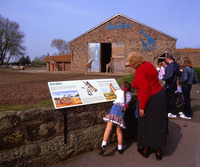
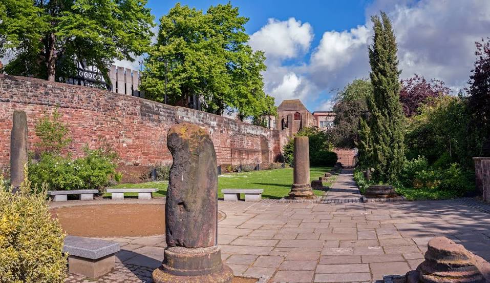
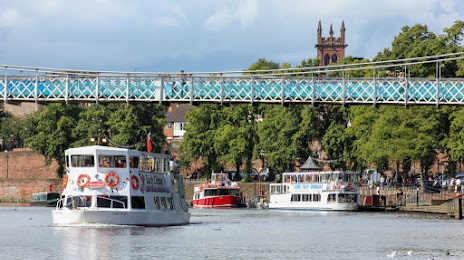
Attractions


Distance to the capital
Distance to the capital (London) is about — 265 km.