
 Vigonovo
Pastrengo
Marsaglia
Collagna
Vallecrosia
Masone
Monte di Procida
Taurianova
Pignone
Bognanco
Sedriano
Gorla Maggiore
Buttapietra
Altomonte
Malborghetto Valbruna
Partanna
Serravalle di Chienti
Cremolino
Agropoli
Vigonovo
Pastrengo
Marsaglia
Collagna
Vallecrosia
Masone
Monte di Procida
Taurianova
Pignone
Bognanco
Sedriano
Gorla Maggiore
Buttapietra
Altomonte
Malborghetto Valbruna
Partanna
Serravalle di Chienti
Cremolino
Agropoli
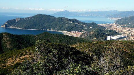
Lavagna on the map, Italy
Where is located Lavagna
Exact location — Lavagna, Città Metropolitana di Genova, Liguria, Italy, marked on the map with a red marker.
Coordinates
Lavagna, Italy coordinates in decimal format: latitude — 44.3085856, longitude — 9.3418012. When converted to degrees, minutes, seconds Lavagna has the following coordinates: 44°18′30.91 north latitude and 9°20′30.48 east longitude.
Population
Lavagna, Città Metropolitana di Genova, Liguria, Italy, according to our data the population is — 13,002 residents, which is about 0% of the total population of the country (Italy).
Comparison of the population on the graph:
Exact time
Time zone for this location Lavagna — UTC +2 Europe/Rome. Exact time — sunday, 8 august 2024 year, 02 h. 12 minutes.
Sunrise and sunset
Lavagna, sunrise and sunset data for a date — sunday 11.08.2024.
| Sunrise | Sunset | Day (duration) |
|---|---|---|
| 06:25 +1 minute | 20:30 -1 minute | 14 h. 6 minutes. -2 minutes |
You can control the scale of the map using the auxiliary tools to find out exactly where it is located Lavagna. When you change the scale of the map, the width of the ruler also changes (in kilometers and miles).
Nearby cities
The largest cities that are located nearby:
- Genoa — 33 km
- Parma — 95 km
- Livorno — 114 km
- Milan — 128 km
- Modena — 130 km
- Novara — 138 km
- Monza — 141 km
- Prato — 148 km
- Brescia — 152 km
- Turin — 154 km
- Bergamo — 156 km
- Bologna — 159 km
- Florence — 164 km
- Verona — 179 km
- Nice
 (France) — 179 km
 - Ferrara — 188 km
- Forli — 214 km
- Vicenza — 218 km
- Ravenna — 226 km
Distance to neighboring capitals:
- Vaduz
 (Liechtenstein) — 315 km
 - Bern
 (Switzerland) — 329 km
 - Ljubljana
 (Slovenia) — 449 km
 - Zagreb
 (Croatia) — 548 km
 - Vienna
 (Austria) — 693 km
 - Paris (France) — 735 km
- Paris (France) — 735 km
- Berlin
 (Germany) — 961 km
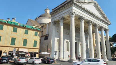
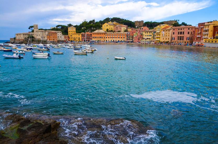
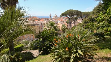
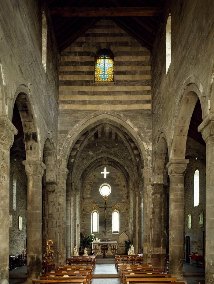
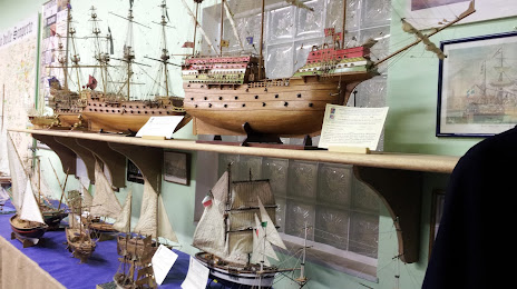
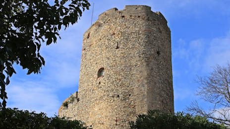
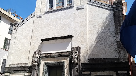
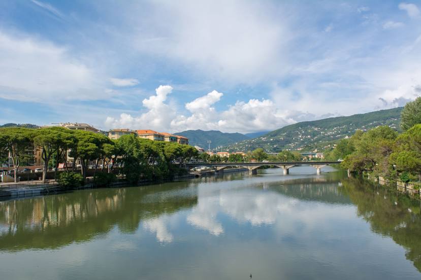
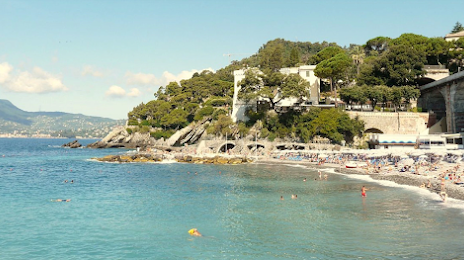
Attractions


Distance to the capital
Distance to the capital (Rome) is about — 370 km.