 Tielen
Boitsfort
Eppegem
Damme
Leval-Trahegnies
Haren
Spiere-Helkijn
Gijzegem
Vreren
Harnoncourt
Vichte
Louftémont
254
Beringen
Ichtegem
Londerzeel
Waarschoot
Vodelée
Bârsy
Tielen
Boitsfort
Eppegem
Damme
Leval-Trahegnies
Haren
Spiere-Helkijn
Gijzegem
Vreren
Harnoncourt
Vichte
Louftémont
254
Beringen
Ichtegem
Londerzeel
Waarschoot
Vodelée
Bârsy
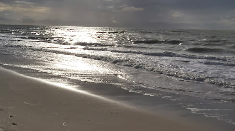
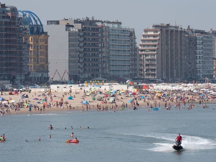
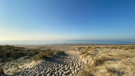
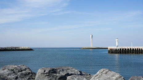
De Haan on the map, Belgium
Where is located De Haan
Exact location — De Haan, West Flanders, Flanders, Belgium, marked on the map with a red marker.
Coordinates
De Haan, Belgium coordinates in decimal format: latitude — 51.2762294, longitude — 3.0300572. When converted to degrees, minutes, seconds De Haan has the following coordinates: 51°16′34.43 north latitude and 3°1′48.21 east longitude.
Exact time
Time zone for this location De Haan — UTC +2 Europe/Brussels. Exact time — friday, 5 may 2024 year, 02 h. 14 minutes.
Sunrise and sunset
De Haan, sunrise and sunset data for a date — friday 17.05.2024.
| Sunrise | Sunset | Day (duration) |
|---|---|---|
| 05:57 -1 minute | 21:31 +2 minutes | 15 h. 36 minutes. +3 minutes |
You can control the scale of the map using the auxiliary tools to find out exactly where it is located De Haan. When you change the scale of the map, the width of the ruler also changes (in kilometers and miles).
Nearby cities
The largest cities that are located nearby:
- Lille
 (France) — 72 km
 - Antwerp — 95 km
- Rotterdam
 (Netherlands) — 122 km
 - The Hague (Netherlands) — 123 km
- Breda (Netherlands) — 125 km
- Dordrecht (Netherlands) — 128 km
- Zoetermeer (Netherlands) — 132 km
- Charleroi — 138 km
- Leiden (Netherlands) — 139 km
- Tilburg (Netherlands) — 145 km
- Ipswich
 (United Kingdom) — 154 km
 - Namur — 157 km
- Hoofddorp (Netherlands) — 160 km
- Amiens (France) — 162 km
- Southend-on-Sea (United Kingdom) — 162 km
- 's-Hertogenbosch (Netherlands) — 163 km
- Haarlem (Netherlands) — 164 km
- Utrecht (Netherlands) — 168 km
- Eindhoven (Netherlands) — 169 km
Distance to neighboring capitals:
- Amsterdam (Netherlands) — 177 km
- Paris (France) — 273 km
- Paris (France) — 273 km
- Bern
 (Switzerland) — 579 km
 - Berlin
 (Germany) — 725 km
 - Copenhagen
 (Denmark) — 798 km
 - Prague
 (Czech Republic) — 814 km
 - Vienna
 (Austria) — 1016 km
 - Warsaw
 (Poland) — 1239 km
Attractions

Distance to the capital
Distance to the capital (Brussels) is about — 104 km.