
 Zaragoza
Salamanca
Santiago de Compostela
Arinaga
Moralzarzal
Castellón de la Plana
Granada
Pozoblanco
Alcoi
Fuenlabrada
Urdiain
Vigo
Palma
O Barco
Boadilla del Monte
Alcocer
Rubí
Marbella
Valencia
Zaragoza
Salamanca
Santiago de Compostela
Arinaga
Moralzarzal
Castellón de la Plana
Granada
Pozoblanco
Alcoi
Fuenlabrada
Urdiain
Vigo
Palma
O Barco
Boadilla del Monte
Alcocer
Rubí
Marbella
Valencia
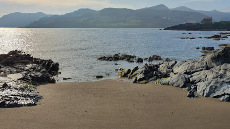
Bermeo on the map, Spain
Where is located Bermeo
Exact location — Bermeo, Bizkaia, Euskadi, Spain, marked on the map with a red marker.
Coordinates
Bermeo, Spain coordinates in decimal format: latitude — 43.4188248, longitude — -2.7269756. When converted to degrees, minutes, seconds Bermeo has the following coordinates: 43°25′7.77 north latitude and -2°43′37.11 east longitude.
Population
Bermeo, Bizkaia, Euskadi, Spain, according to our data the population is — 16,904 residents, which is about 0% of the total population of the country (Spain).
Comparison of the population on the graph:
Exact time
Time zone for this location Bermeo — UTC +2 Europe/Madrid. Exact time — sunday, 6 june 2024 year, 16 h. 48 minutes.
Sunrise and sunset
Bermeo, sunrise and sunset data for a date — sunday 16.06.2024.
| Sunrise | Sunset | Day (duration) |
|---|---|---|
| 06:33 -0 minutes | 21:50 +1 minute | 15 h. 18 minutes. +1 minute |
You can control the scale of the map using the auxiliary tools to find out exactly where it is located Bermeo. When you change the scale of the map, the width of the ruler also changes (in kilometers and miles).
Nearby cities
The largest cities that are located nearby:
- Bilbao — 24 km
- San Sebastián — 61 km
- Vitoria-Gasteiz — 62 km
- Santander — 87 km
- Logroño — 108 km
- Pamplona — 110 km
- Burgos — 143 km
- Bordeaux
 (France) — 230 km
 - Gijón — 236 km
- Zaragoza — 248 km
- León — 248 km
- Oviedo — 251 km
- Valladolid — 256 km
- Alcobendas — 328 km
- Alcala de Henares — 329 km
- Torrejón de Ardoz — 333 km
- Toulouse (France) — 335 km
- Lleida — 341 km
- Alcorcón — 352 km
Distance to neighboring capitals:
- Andorra la Vella
 (Andorra) — 360 km
 - Paris (France) — 720 km
- Paris (France) — 720 km
- Lisbon
 (Portugal) — 749 km
 - Rabat
 (Morocco) — 1110 km
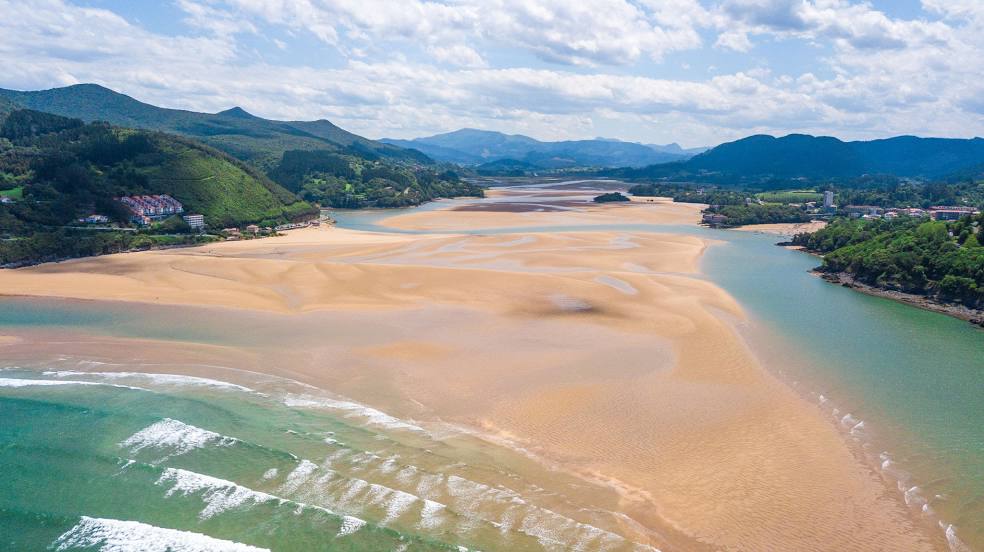
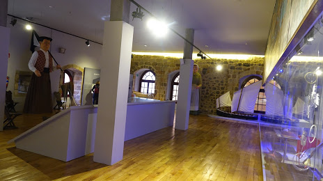
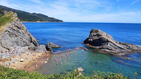
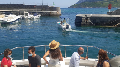
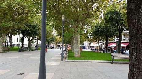
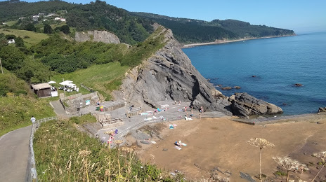
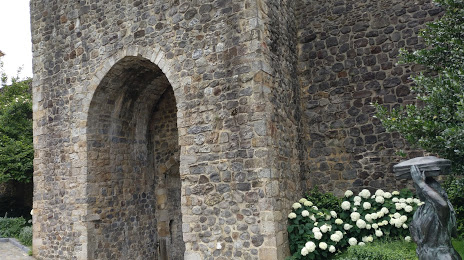
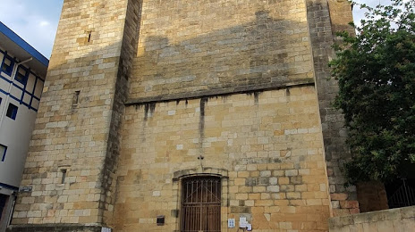
Attractions
Distance to the capital
Distance to the capital (Madrid) is about — 344 km.