
 Lobios
Toril
Las Palmas de Gran Canaria
O Porriño
Nieva
Santa Cruz de Tenerife
Serés
Bermellar
Acebedo
Oikia
Combarro
Elizondo
Boí
La Laja
Orea
Vencillón
Belver de Cinca
Puerto de Mogán
Tavernes de la Valldigna
Lobios
Toril
Las Palmas de Gran Canaria
O Porriño
Nieva
Santa Cruz de Tenerife
Serés
Bermellar
Acebedo
Oikia
Combarro
Elizondo
Boí
La Laja
Orea
Vencillón
Belver de Cinca
Puerto de Mogán
Tavernes de la Valldigna
Cardedeu on the map, Spain
Where is located Cardedeu
Exact location — Cardedeu, Barcelona, Catalonia, Spain, marked on the map with a red marker.
Coordinates
Cardedeu, Spain coordinates in decimal format: latitude — 41.6394024, longitude — 2.3591531. When converted to degrees, minutes, seconds Cardedeu has the following coordinates: 41°38′21.85 north latitude and 2°21′32.95 east longitude.
Population
Cardedeu, Barcelona, Catalonia, Spain, according to our data the population is — 16,596 residents, which is about 0% of the total population of the country (Spain).
Comparison of the population on the graph:
Exact time
Time zone for this location Cardedeu — UTC +2 Europe/Madrid. Exact time — wednesday, 8 august 2024 year, 09 h. 17 minutes.
Sunrise and sunset
Cardedeu, sunrise and sunset data for a date — wednesday 21.08.2024.
| Sunrise | Sunset | Day (duration) |
|---|---|---|
| 07:09 +1 minute | 20:38 -1 minute | 13 h. 30 minutes. -2 minutes |
You can control the scale of the map using the auxiliary tools to find out exactly where it is located Cardedeu. When you change the scale of the map, the width of the ruler also changes (in kilometers and miles).
Nearby cities
The largest cities that are located nearby:
- Mataró — 13 km
- Sabadell — 23 km
- Badalona — 23 km
- Santa Coloma de Gramenet — 25 km
- Terrassa — 30 km
- L'Hospitalet de Llobregat — 36 km
- Tarragona — 109 km
- Perpignan
 (France) — 124 km
 - Lleida — 144 km
- Toulouse (France) — 229 km
- Palma — 230 km
- Montpellier (France) — 250 km
- Zaragoza — 268 km
- Nimes (France) — 291 km
- Marseille (France) — 304 km
- Aix-en-Provence (France) — 324 km
- Toulon (France) — 332 km
- Valencia — 335 km
- Pamplona — 350 km
Distance to neighboring capitals:
- Andorra la Vella
 (Andorra) — 119 km
 - Paris (France) — 803 km
- Paris (France) — 803 km
- Lisbon
 (Portugal) — 1029 km
 - Rabat
 (Morocco) — 1174 km
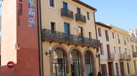
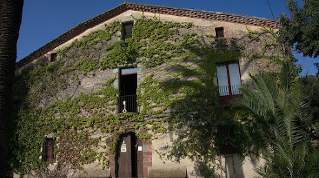
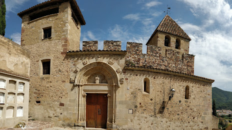
Attractions


Distance to the capital
Distance to the capital (Madrid) is about — 526 km.