 Knocklyon
Cork Airport
Grangecon
Feenagh
County Meath
Kinsale
Carrick-On-Shannon
Dangan
Slatta
Glendalough
Cross Barry
Upper Glanmire
Monaghan
Dublin Airport
Newcastle West
Dublin
May
Waterford
Ireland
Knocklyon
Cork Airport
Grangecon
Feenagh
County Meath
Kinsale
Carrick-On-Shannon
Dangan
Slatta
Glendalough
Cross Barry
Upper Glanmire
Monaghan
Dublin Airport
Newcastle West
Dublin
May
Waterford
Ireland
Carlow on the map, Ireland
Where is located Carlow
Exact location — Carlow, County Carlow, Ireland, marked on the map with a red marker.
Coordinates
Carlow, Ireland coordinates in decimal format: latitude — 52.8365072, longitude — -6.9341359. When converted to degrees, minutes, seconds Carlow has the following coordinates: 52°50′11.43 north latitude and -6°56′2.89 east longitude.
Exact time
Time zone for this location Carlow — UTC +1 Europe/Dublin. Exact time — monday, 5 may 2024 year, 13 h. 14 minutes.
Sunrise and sunset
Carlow, sunrise and sunset data for a date — monday 20.05.2024.
| Sunrise | Sunset | Day (duration) |
|---|---|---|
| 05:26 -1 minute | 21:22 +2 minutes | 15 h. 54 minutes. +3 minutes |
You can control the scale of the map using the auxiliary tools to find out exactly where it is located Carlow. When you change the scale of the map, the width of the ruler also changes (in kilometers and miles).
Nearby cities
The largest cities that are located nearby:
- Cork — 148 km
- Belfast
 (United Kingdom) — 205 km
 - Liverpool (United Kingdom) — 267 km
- Preston (United Kingdom) — 295 km
- Telford (United Kingdom) — 301 km
- Blackburn (United Kingdom) — 308 km
- Manchester (United Kingdom) — 317 km
- Stoke-on-Trent (United Kingdom) — 317 km
- Worcester (Great Britain) — 327 km
- Dudley (United Kingdom) — 329 km
- Exeter (United Kingdom) — 334 km
- West Bromwich (United Kingdom) — 334 km
- Bristol (Great Britain) — 336 km
- Birmingham (United Kingdom) — 342 km
- Sutton Coldfield (United Kingdom) — 345 km
- Cheltenham (United Kingdom) — 347 km
- Huddersfield (United Kingdom) — 349 km
- Sheffield (United Kingdom) — 365 km
- Coventry (United Kingdom) — 368 km
Distance to neighboring capitals:
- London (United Kingdom) — 487 km
- Nicosia
 — 3706 km
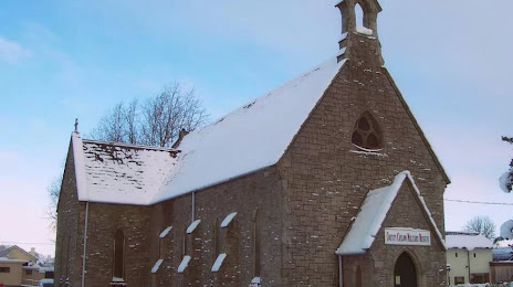
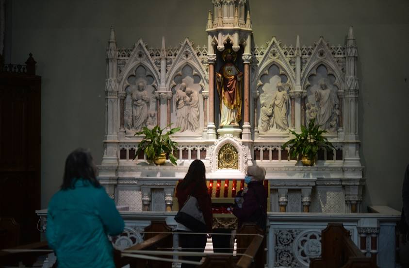
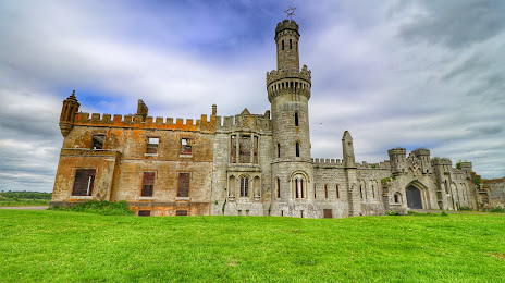
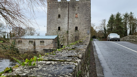
Attractions

Distance to the capital
Distance to the capital (Dublin) is about — 73 km.