Lincoln City — Lamy
Lincoln City — Eureka
Lincoln City — Halleck
Lincoln City — Clio
Lincoln City — Pleasant Valley
Lincoln City — Parsons
Lincoln City — Lutts
Lincoln City — Bellefontaine
Lincoln City — Tubac
Lincoln City — Hilton Head Island
Lincoln City — Pompano Beach
Lincoln City — Sand Springs
Lincoln City — Sandusky
Lincoln City — Port Saint Joe
Lincoln City — Foristell
Lincoln City — Eau Claire
Lincoln City — Fort Bend County
Lincoln City — White Pine
Lincoln City — Monette
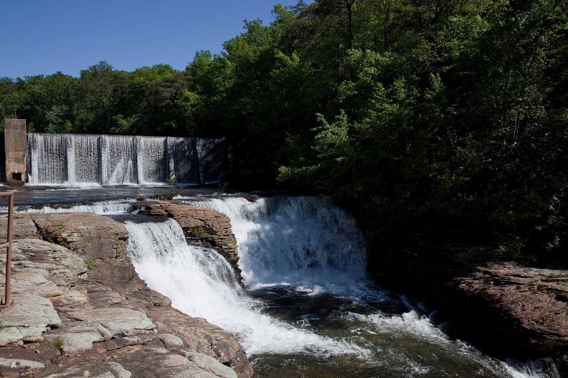
Lincoln City — Fort Payne distance, route on the map
Distance by car
Distance between Lincoln City, Oregon, United States and Fort Payne, Alabama, United States by car is — km, or miles. To travel this distance by car, you need minute, or h.
Route on the map, driving directions
Car route Lincoln City — Fort Payne was created automatically. The road on the map is shown as a blue line. By moving the markers, you can create a new route through the points you need.
Distance by plane
If you decide to take a trip Lincoln City Fort Payne by plane, then you have to fly the distance — 3442 km or 2134 miles. It is marked on the map with a gray line (between two points in a straight line).
Flight time
Estimated flight time Lincoln City Fort Payne by plane at cruising speed 750 km / h will be — 4 h. and 35 min.
Direction of movement
United States, Lincoln City — right-hand traffic. United States, Fort Payne — right-hand traffic.
Difference in time
Lincoln City and Fort Payne are in different time zones. The time difference is 2 hours (UTC -7 America/Los_Angeles, UTC -5 America/Chicago).
Interesting Facts
Information on alternative ways to get to your destination.
The length of this distance is about 8.6% of the total length of the equator.
The percentage of the population is clearly shown in the graph:
Lincoln City — 7,930 (less by 5,656), Fort Payne — 13,586 residents.
The cost of travel
Calculate the cost of the trip yourself using the fuel consumption calculator, changing the data in the table.