
 Brisighella
Melito di Porto Salvo
Adrano
Acate
San Severino Marche
Pedaso
Ruvo di Puglia
Sinnai
Rovello Porro
Campagnano di Roma
Pontelatone
Gassino Torinese
Bibbona
Novaledo
Vescovato
Buonconvento
Gemonio
Cassina de' Pecchi
Carloforte
Brisighella
Melito di Porto Salvo
Adrano
Acate
San Severino Marche
Pedaso
Ruvo di Puglia
Sinnai
Rovello Porro
Campagnano di Roma
Pontelatone
Gassino Torinese
Bibbona
Novaledo
Vescovato
Buonconvento
Gemonio
Cassina de' Pecchi
Carloforte
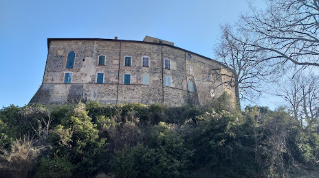
Quattro Castella on the map, Italy
Where is located Quattro Castella
Exact location — Quattro Castella, Reggio nell'Emilia, Emilia-Romagna, Italy, marked on the map with a red marker.
Coordinates
Quattro Castella, Italy coordinates in decimal format: latitude — 44.6363977, longitude — 10.4727679. When converted to degrees, minutes, seconds Quattro Castella has the following coordinates: 44°38′11.03 north latitude and 10°28′21.96 east longitude.
Population
Quattro Castella, Reggio nell'Emilia, Emilia-Romagna, Italy, according to our data the population is — 12,369 residents, which is about 0% of the total population of the country (Italy).
Comparison of the population on the graph:
Exact time
Time zone for this location Quattro Castella — UTC +2 Europe/Rome. Exact time — thursday, 8 august 2024 year, 15 h. 56 minutes.
Sunrise and sunset
Quattro Castella, sunrise and sunset data for a date — thursday 15.08.2024.
| Sunrise | Sunset | Day (duration) |
|---|---|---|
| 06:24 +1 minute | 20:20 -1 minute | 13 h. 54 minutes. -2 minutes |
You can control the scale of the map using the auxiliary tools to find out exactly where it is located Quattro Castella. When you change the scale of the map, the width of the ruler also changes (in kilometers and miles).
Nearby cities
The largest cities that are located nearby:
- Parma — 22 km
- Modena — 35 km
- Bologna — 70 km
- Ferrara — 93 km
- Verona — 97 km
- Prato — 98 km
- Brescia — 102 km
- Florence — 114 km
- Livorno — 121 km
- Genoa — 123 km
- Vicenza — 130 km
- Forli — 132 km
- Bergamo — 133 km
- Milan — 135 km
- Ravenna — 139 km
- Monza — 140 km
- Trento — 166 km
- Venice — 168 km
- Novara — 169 km
Distance to neighboring capitals:
- Vaduz
 (Liechtenstein) — 288 km
 - Bern
 (Switzerland) — 348 km
 - Ljubljana
 (Slovenia) — 353 km
 - Zagreb
 (Croatia) — 451 km
 - Vienna
 (Austria) — 602 km
 - Paris
 (France) — 776 km
 - Paris (France) — 776 km
- Berlin
 (Germany) — 903 km
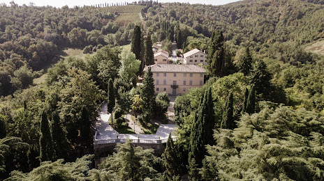
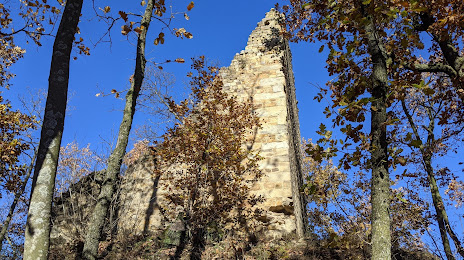
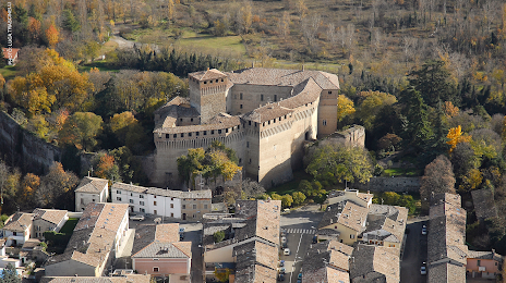
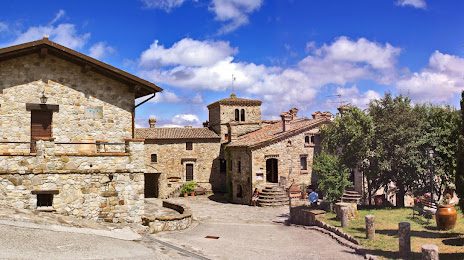
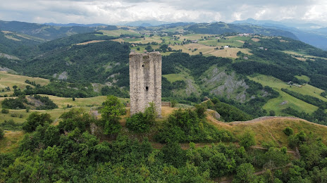
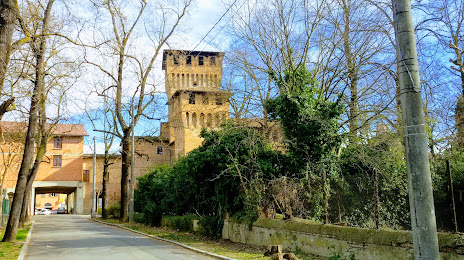
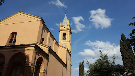
Attractions
Distance to the capital
Distance to the capital (Rome) is about — 345 km.