
 Lac-Simon
Moorefield
Notre-Dame-du-Mont-Carmel
Bridal Falls
Caribou
Wood Islands
Camp White Bear
Mandeville
French River
Granisle
Burnaby
Selkirk
Christmas Island
Peggys Cove
Chéticamp
Larouche
Saint Jean Baptiste
Alkali Lake
Penobsquis
Lac-Simon
Moorefield
Notre-Dame-du-Mont-Carmel
Bridal Falls
Caribou
Wood Islands
Camp White Bear
Mandeville
French River
Granisle
Burnaby
Selkirk
Christmas Island
Peggys Cove
Chéticamp
Larouche
Saint Jean Baptiste
Alkali Lake
Penobsquis
Midland on the map, Canada
Where is located Midland
Exact location — Midland, Simcoe County, Ontario, Canada, marked on the map with a red marker.
Coordinates
Midland, Canada coordinates in decimal format: latitude — 44.749516, longitude — -79.8921923. When converted to degrees, minutes, seconds Midland has the following coordinates: 44°44′58.26 north latitude and -79°53′31.89 east longitude.
Population
Midland, Simcoe County, Ontario, Canada, according to our data the population is — 31,502 residents, which is about 0.1% of the total population of the country (Canada).
Comparison of the population on the graph:
Exact time
Time zone for this location Midland — UTC -4 America/Toronto. Exact time — thursday, 7 july 2024 year, 05 h. 21 minute.
Sunrise and sunset
Midland, sunrise and sunset data for a date — thursday 25.07.2024.
| Sunrise | Sunset | Day (duration) |
|---|---|---|
| 06:02 +1 minute | 20:49 -1 minute | 14 h. 48 minutes. -2 minutes |
You can control the scale of the map using the auxiliary tools to find out exactly where it is located Midland. When you change the scale of the map, the width of the ruler also changes (in kilometers and miles).
Nearby cities
The largest cities that are located nearby:
- Barrie — 43 km
- Richmond Hill — 102 km
- Vaughan — 105 km
- Markham — 108 km
- Brampton — 113 km
- Whitby — 121 km
- Oshawa — 125 km
- Toronto — 128 km
- Mississauga — 130 km
- Guelph — 136 km
- Oakville — 143 km
- Waterloo — 151 km
- Kitchener — 155 km
- Cambridge — 157 km
- Burlington — 158 km
- Hamilton — 166 km
- Saint Catharines — 183 km
- Amherst
 (United States) — 215 km
 - Buffalo (United States) — 222 km
Distance to neighboring capitals:
- Washington (United States) — 691 km
- Nuuk
 (Greenland) — 2778 km
 - Saint John
 (Puerto Rico) — 3191 km
 - Mexico City
 (Mexico) — 3330 km
 - Belgrade
 (Serbia) — 7350 km
 - Podgorica
 (Montenegro) — 7445 km
 - Hagåtña
 (Guam) — 12136 km
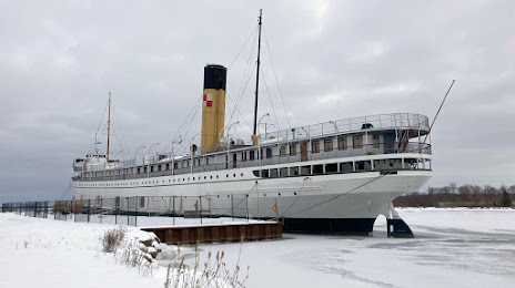
Attractions

Distance to the capital
Distance to the capital (Ottawa) is about — 338 km.