
 Südbrookmerland
Dillingen
Steinach
Münchberg
Nordheim
Salem
Scharmützelsee
Bondorf
Lichtenau
Kalbe
Oberwangen
Berndroth
Bernried am Starnberger See
Sollstedt
Baumholder
Rieden
Weißenstadt
Prühl
Bad Mingolsheim
Südbrookmerland
Dillingen
Steinach
Münchberg
Nordheim
Salem
Scharmützelsee
Bondorf
Lichtenau
Kalbe
Oberwangen
Berndroth
Bernried am Starnberger See
Sollstedt
Baumholder
Rieden
Weißenstadt
Prühl
Bad Mingolsheim
Rotenburg an der Fulda on the map, Germany
Where is located Rotenburg an der Fulda
Exact location — Rotenburg an der Fulda, Kassel, Hesse, Germany, marked on the map with a red marker.
Coordinates
Rotenburg an der Fulda, Germany coordinates in decimal format: latitude — 50.9995571, longitude — 9.7309388. When converted to degrees, minutes, seconds Rotenburg an der Fulda has the following coordinates: 50°59′58.41 north latitude and 9°43′51.38 east longitude.
Population
Rotenburg an der Fulda, Kassel, Hesse, Germany, according to our data the population is — 14,271 residents, which is about 0% of the total population of the country (Germany).
Comparison of the population on the graph:
Exact time
Time zone for this location Rotenburg an der Fulda — UTC +2 Europe/Berlin. Exact time — tuesday, 7 july 2024 year, 02 h. 57 minutes.
Sunrise and sunset
Rotenburg an der Fulda, sunrise and sunset data for a date — tuesday 2.07.2024.
| Sunrise | Sunset | Day (duration) |
|---|---|---|
| 05:16 -0 minutes | 21:33 -0 minutes | 16 h. 18 minutes. -0 minutes |
You can control the scale of the map using the auxiliary tools to find out exactly where it is located Rotenburg an der Fulda. When you change the scale of the map, the width of the ruler also changes (in kilometers and miles).
Nearby cities
The largest cities that are located nearby:
- Kassel — 39 km
- Göttingen — 61 km
- Erfurt — 90 km
- Paderborn — 104 km
- Siegen — 120 km
- Offenbach — 121 km
- Frankfurt — 123 km
- Hildesheim — 129 km
- Salzgitter — 134 km
- Würzburg — 135 km
- Bielefeld — 140 km
- Darmstadt — 146 km
- Wiesbaden — 147 km
- Brunswick — 150 km
- Hamm — 151 km
- Hanover — 152 km
- Mainz — 153 km
- Hagen — 162 km
- Gera — 164 km
Distance to neighboring capitals:
- Prague
 (Czech Republic) — 348 km
 - Amsterdam
 (Netherlands) — 367 km
 - Brussels
 (Belgium) — 377 km
 - Vaduz
 (Liechtenstein) — 429 km
 - Bern
 (Switzerland) — 481 km
 - Copenhagen
 (Denmark) — 553 km
 - Vienna
 (Austria) — 570 km
 - Paris
 (France) — 579 km
 - Paris (France) — 579 km
- Ljubljana
 (Slovenia) — 652 km
 - Warsaw
 (Poland) — 790 km
 - Oslo
 (Norway) — 994 km
 - Rome
 (Italy) — 1034 km
 - Stockholm
 (Sweden) — 1060 km
 - Minsk
 (Belarus) — 1247 km
 - Helsinki
 (Finland) — 1392 km
 - Kyiv
 (Ukraine) — 1460 km
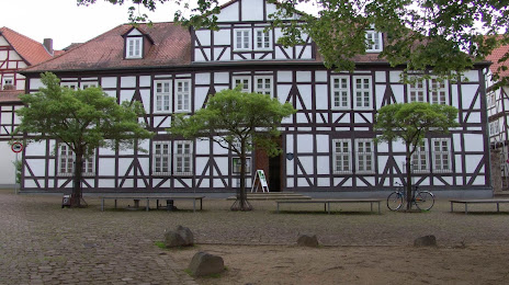
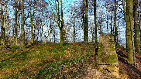
Attractions


Distance to the capital
Distance to the capital (Berlin) is about — 304 km.