Wells County — Mansura
Wells County — Winslow
Wells County — Scott City
Wells County — Elderon
Wells County — DeKalb
Wells County — Leslie
Wells County — Sulphur
Wells County — Portsmouth
Wells County — Memphis
Wells County — Midville
Wells County — Tom Green County
Wells County — Purdy
Wells County — Rodessa
Wells County — Angoon
Wells County — Benedict
Wells County — Gravois Mills
Wells County — Ragland
Wells County — Punxsutawney
Wells County — Logandale
Carrington
Spiritwood
Barnes County
Valley City
Casselton
West Fargo
Fargo
Horace
Wolverton
Mooreton
Hankinson
Sisseton
Roberts County
Peever
Watertown Regional Airport
Brookings
Colman
Dell Rapids
Baltic
Crooks
Sioux Falls Regional Airport
Sioux Falls
Tea
Worthing
Beresford
Elk Point
North Sioux City
Sioux City
South Sioux City
Sergeant Bluff
Sloan
Onawa
Little Sioux
Mondamin
Modale
Missouri Valley
Ascot
Carter Lake
Council Bluffs
Plattsmouth
Percival
Nebraska City
Rock Port
Amazonia
St. Joseph
Buchanan County
Faucett
Camden Point
Platte City
Kansas City International Airport
Kansas City International Airport
Kansas City
Gladstone
North Kansas City
Kansas City
Kansas City
Kansas City
Grandview
Raymore
Peculiar
Harrisonville
Archie
Nevada
Barton County
Carthage
Jasper County
Webb City
Joplin
Neosho
Lanagan
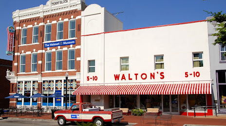
Wells County — Bentonville distance, route on the map
Distance by car
Distance between Wells County, North Dakota, United States and Bentonville, Arkansas, United States by car is — km, or miles. To travel this distance by car, you need minute, or h.
Route on the map, driving directions
Car route Wells County — Bentonville was created automatically. The road on the map is shown as a blue line. By moving the markers, you can create a new route through the points you need.
Passing cities through which the car route passes: Sykeston, Carrington, Spiritwood, Barnes County, Valley City, Casselton, West Fargo, Fargo, Horace, Wolverton, Mooreton, Hankinson, Sisseton, Roberts County, Peever, Watertown Regional Airport, Brookings, Colman, Dell Rapids, Baltic, Crooks, Sioux Falls Regional Airport, Sioux Falls, Tea, Worthing, Beresford, Elk Point, North Sioux City, Sioux City, South Sioux City, Sergeant Bluff, Sloan, Onawa, Little Sioux, Mondamin, Modale, Missouri Valley, Ascot, Carter Lake, Council Bluffs, Plattsmouth, Percival, Nebraska City, Rock Port, Amazonia, St. Joseph, Buchanan County, Faucett, Camden Point, Platte City, Kansas City International Airport, Kansas City International Airport, Kansas City, Gladstone, North Kansas City, Kansas City, Kansas City, Kansas City, Grandview, Raymore, Peculiar, Harrisonville, Archie, Nevada, Barton County, Carthage, Jasper County, Webb City, Joplin, Neosho, Lanagan.
Distance by plane
If you decide to take a trip Wells County Bentonville by plane, then you have to fly the distance — 1316 km or 816 miles. It is marked on the map with a gray line (between two points in a straight line).
Flight time
Estimated flight time Wells County Bentonville by plane at cruising speed 750 km / h will be — 1 h. and 45 min.
Direction of movement
United States, Wells County — right-hand traffic. United States, Bentonville — right-hand traffic.
Difference in time
Wells County and Bentonville are in the same time zone. Between them there is no time difference (UTC -5 America/Chicago).
Interesting Facts
Information on alternative ways to get to your destination.
The length of this distance is about 3.3% of the total length of the equator.
The cost of travel
Calculate the cost of the trip yourself using the fuel consumption calculator, changing the data in the table.