Lolo — Sand Point
Lolo — Fruita
Lolo — Andreas
Lolo — Weirsdale
Lolo — Pricedale
Lolo — Cache
Lolo — Claremont
Lolo — Prairie View
Lolo — Longmont
Lolo — Binford
Lolo — Ponderosa
Lolo — Bavispe
Lolo — Port Ludlow
Lolo — Belcourt
Lolo — San Leandro
Lolo — Huntersville
Lolo — Līhuʻe
Lolo — Mabank
Lolo — Brockwell
Bonner-West Riverside
Drummond Airport
Jens
Deer Lodge
Butte
Butte
Three Forks
Trident
Manhattan
Belgrade
Bozeman Yellowstone International Airport
Lux
Bozeman
Livingston
Big Timber
Greycliff
Reed Point
Billings
Lockwood
Hardin
Crow Agency
Garryowen
Lodge Grass
Wyola
Parkman
Ranchester
Sheridan
Banner
Story
Buffalo
Gillette
Rozet
Moorcroft
Schloredt Airport
Spearfish
Whitewood
Sturgis
Summerset
Lolo — Sand Point
Lolo — Fruita
Lolo — Andreas
Lolo — Weirsdale
Lolo — Pricedale
Lolo — Cache
Lolo — Claremont
Lolo — Prairie View
Lolo — Longmont
Lolo — Binford
Lolo — Ponderosa
Lolo — Bavispe
Lolo — Port Ludlow
Lolo — Belcourt
Lolo — San Leandro
Lolo — Huntersville
Lolo — Līhuʻe
Lolo — Mabank
Lolo — Brockwell
Bonner-West Riverside
Drummond Airport
Jens
Deer Lodge
Butte
Butte
Three Forks
Trident
Manhattan
Belgrade
Bozeman Yellowstone International Airport
Lux
Bozeman
Livingston
Big Timber
Greycliff
Reed Point
Billings
Lockwood
Hardin
Crow Agency
Garryowen
Lodge Grass
Wyola
Parkman
Ranchester
Sheridan
Banner
Story
Buffalo
Gillette
Rozet
Moorcroft
Schloredt Airport
Spearfish
Whitewood
Sturgis
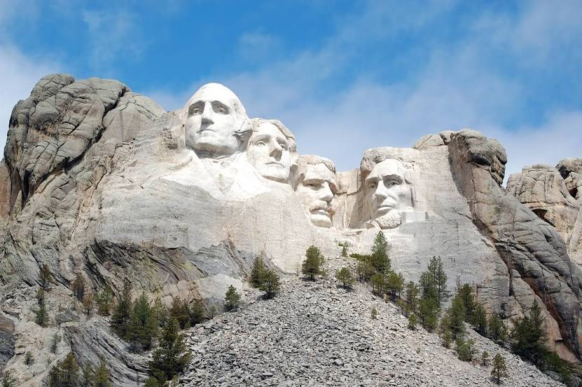
Summerset
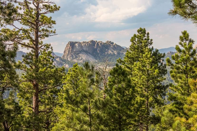
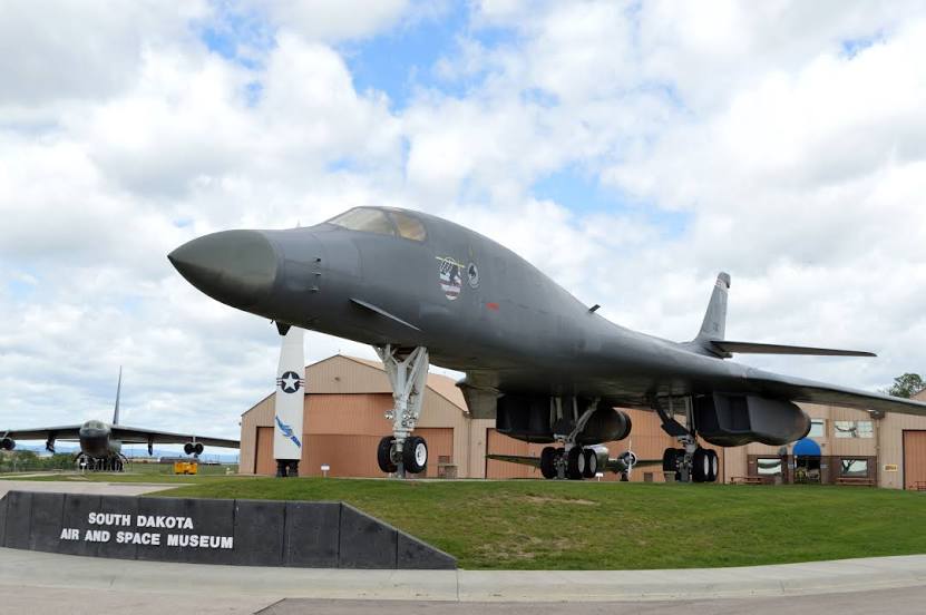
Lolo — Rapid City distance, route on the map
Distance by car
Distance between Lolo, Montana, United States and Rapid City, South Dakota, United States by car is — km, or miles. To travel this distance by car, you need minute, or h.
Route on the map, driving directions
Car route Lolo — Rapid City was created automatically. The road on the map is shown as a blue line. By moving the markers, you can create a new route through the points you need.
Passing cities through which the car route passes: Missoula, Bonner-West Riverside, Drummond Airport, Jens, Deer Lodge, Butte, Butte, Three Forks, Trident, Manhattan, Belgrade, Bozeman Yellowstone International Airport, Lux, Bozeman, Livingston, Big Timber, Greycliff, Reed Point, Billings, Lockwood, Hardin, Crow Agency, Garryowen, Lodge Grass, Wyola, Parkman, Ranchester, Sheridan, Banner, Story, Buffalo, Gillette, Rozet, Moorcroft, Schloredt Airport, Spearfish, Whitewood, Sturgis, Summerset.
Distance by plane
If you decide to take a trip Lolo Rapid City by plane, then you have to fly the distance — 897 km or 556 miles. It is marked on the map with a gray line (between two points in a straight line).
Flight time
Estimated flight time Lolo Rapid City by plane at cruising speed 750 km / h will be — 1 h. and 11 min.
Direction of movement
United States, Lolo — right-hand traffic. United States, Rapid City — right-hand traffic.
Difference in time
Lolo and Rapid City are in the same time zone. Between them there is no time difference (UTC -6 America/Denver).
Interesting Facts
Information on alternative ways to get to your destination.
The length of this distance is about 2.2% of the total length of the equator.
The percentage of the population is clearly shown in the graph:
Lolo — 3,892 (less by 57,996), Rapid City — 61,888 residents.
The cost of travel
Calculate the cost of the trip yourself using the fuel consumption calculator, changing the data in the table.