
 Noblejas
La Selva
Igollo
Cintruénigo
Benejúzar
Balboa
Cala
Cuesta
Flores de Ávila
Masquefa
El Burgo de Osma
Sant Andreu
Premià de Dalt
Santa Coloma de Gramenet
Arroyo de San Serván
Morata de Jalón
Sant Julià de Ramis
Maià de Montcal
Bera
Noblejas
La Selva
Igollo
Cintruénigo
Benejúzar
Balboa
Cala
Cuesta
Flores de Ávila
Masquefa
El Burgo de Osma
Sant Andreu
Premià de Dalt
Santa Coloma de Gramenet
Arroyo de San Serván
Morata de Jalón
Sant Julià de Ramis
Maià de Montcal
Bera
La Unión on the map, Spain
Where is located La Unión
Exact location — La Unión, Murcia, Región de Murcia, Spain, marked on the map with a red marker.
Coordinates
La Unión, Spain coordinates in decimal format: latitude — 37.6213893, longitude — -0.8824204. When converted to degrees, minutes, seconds La Unión has the following coordinates: 37°37′17 north latitude and -0°52′56.71 east longitude.
Population
La Unión, Murcia, Región de Murcia, Spain, according to our data the population is — 16,095 residents, which is about 0% of the total population of the country (Spain).
Comparison of the population on the graph:
Exact time
Time zone for this location La Unión — UTC +2 Europe/Madrid. Exact time — thursday, 6 june 2024 year, 16 h. 29 minutes.
Sunrise and sunset
La Unión, sunrise and sunset data for a date — thursday 20.06.2024.
| Sunrise | Sunset | Day (duration) |
|---|---|---|
| 06:45 -0 minutes | 21:24 -0 minutes | 14 h. 42 minutes. -0 minutes |
You can control the scale of the map using the auxiliary tools to find out exactly where it is located La Unión. When you change the scale of the map, the width of the ruler also changes (in kilometers and miles).
Nearby cities
The largest cities that are located nearby:
- Cartagena — 10 km
- Murcia — 46 km
- Almería — 165 km
- Albacete — 173 km
- Valencia — 209 km
- Oran
 (Algeria) — 214 km
 - Granada — 244 km
- Relizane (Algeria) — 245 km
- Jaén — 254 km
- Chlef (Algeria) — 255 km
- Sidi Bel Abbes (Algeria) — 269 km
- Tlemcen (Algeria) — 305 km
- Saida (Algeria) — 321 km
- Nador
 (Morocco) — 329 km
 - Málaga — 329 km
- Oujda (Morocco) — 338 km
- Córdoba — 341 km
- Médéa (Algeria) — 357 km
- Algiers (Algeria) — 361 km
Distance to neighboring capitals:
- Andorra la Vella
 (Andorra) — 581 km
 - Rabat (Morocco) — 674 km
- Lisbon
 (Portugal) — 732 km
 - Paris
 (France) — 1277 km
 - Paris (France) — 1277 km
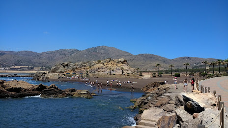
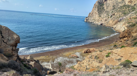
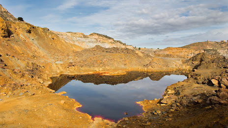
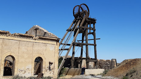
Attractions
Distance to the capital
Distance to the capital (Madrid) is about — 395 km.