Gendorf — Sankt Marein bei Graz
Gendorf — Eckartsbrunn
Gendorf — Niederlindach
Gendorf — Elixhausen
Gendorf — Matzen
Gendorf — Lehrsberg
Gendorf — Zugtal
Gendorf — Kogelsbach
Gendorf — Geinberg
Gendorf — Unterkriebach
Gendorf — Katschwald
Gendorf — Bachleiten
Gendorf — Oberndorf bei Salzburg
Gendorf — Gleins
Gendorf — Oberletzen
Gendorf — Oberloisdorf
Gendorf — Freiland bei Deutschlandsberg
Gendorf — Ilz
Gendorf — Hohenstein
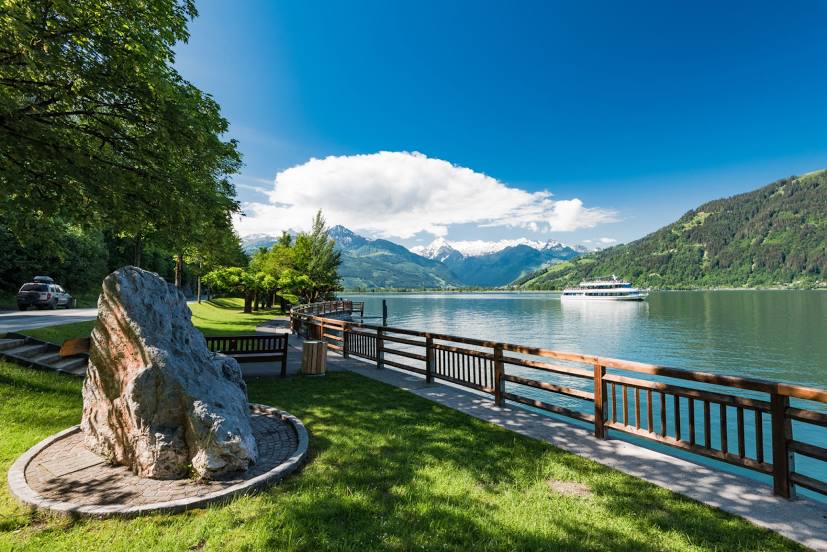
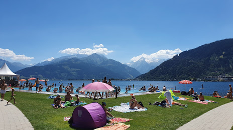
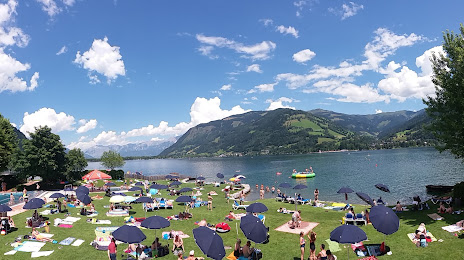
Gendorf — Zell am See distance, route on the map
Distance by car
Distance between Gendorf, Kärnten, Austria and Zell am See, Salzburg, Austria by car is — km, or miles. To travel this distance by car, you need minute, or h.
Route on the map, driving directions
Car route Gendorf — Zell am See was created automatically. The road on the map is shown as a blue line. By moving the markers, you can create a new route through the points you need.
Distance by plane
If you decide to take a trip Gendorf Zell am See by plane, then you have to fly the distance — 75 km or 47 miles. It is marked on the map with a gray line (between two points in a straight line).
Flight time
Estimated flight time Gendorf Zell am See by plane at cruising speed 750 km / h will be — 6 min.
Direction of movement
Austria, Gendorf — right-hand traffic. Austria, Zell am See — right-hand traffic.
Difference in time
Gendorf and Zell am See are in the same time zone. Between them there is no time difference (UTC +2 Europe/Vienna).
Interesting Facts
Information on alternative ways to get to your destination.
The length of this distance is about 0.2% of the total length of the equator.
The cost of travel
Calculate the cost of the trip yourself using the fuel consumption calculator, changing the data in the table.