
 Notre-Dame-du-Lac
Lacolle
Saint-Félix-de-Valois
Sainte-Catherine
Stayner
Glencoe
Charlemagne
Boischatel
Verchères
McMasterville
Bedford
Farnham
Alexandria
Plessisville
Weedon
Laval
Sainte-Adèle
Penhold
Garson
Notre-Dame-du-Lac
Lacolle
Saint-Félix-de-Valois
Sainte-Catherine
Stayner
Glencoe
Charlemagne
Boischatel
Verchères
McMasterville
Bedford
Farnham
Alexandria
Plessisville
Weedon
Laval
Sainte-Adèle
Penhold
Garson
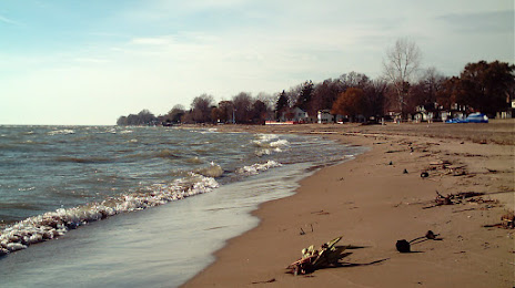
Kingsville on the map, Canada
Where is located Kingsville
Exact location — Kingsville, Essex County, Ontario, Canada, marked on the map with a red marker.
Coordinates
Kingsville, Canada coordinates in decimal format: latitude — 42.0362841, longitude — -82.7389809. When converted to degrees, minutes, seconds Kingsville has the following coordinates: 42°2′10.62 north latitude and -82°44′20.33 east longitude.
Population
Kingsville, Essex County, Ontario, Canada, according to our data the population is — 20,908 residents, which is about 0.1% of the total population of the country (Canada).
Comparison of the population on the graph:
Exact time
Time zone for this location Kingsville — UTC -4 America/Toronto. Exact time — wednesday, 9 september 2024 year, 17 h. 48 minutes.
Sunrise and sunset
Kingsville, sunrise and sunset data for a date — wednesday 4.09.2024.
| Sunrise | Sunset | Day (duration) |
|---|---|---|
| 07:03 +1 minute | 19:55 -2 minutes | 12 h. 54 minutes. -3 minutes |
You can control the scale of the map using the auxiliary tools to find out exactly where it is located Kingsville. When you change the scale of the map, the width of the ruler also changes (in kilometers and miles).
Nearby cities
The largest cities that are located nearby:
- Windsor — 39 km
- Detroit
 (United States) — 41 km
 - Warren (United States) — 57 km
- Sterling Heights (United States) — 65 km
- Toledo (United States) — 79 km
- Ann Arbor (United States) — 86 km
- Cleveland (United States) — 105 km
- Flint (United States) — 132 km
- Aurora (United States) — 140 km
- Akron (United States) — 147 km
- London — 160 km
- Lansing (United States) — 166 km
- Fort Wayne (United States) — 226 km
- Columbus (United States) — 230 km
- Kitchener — 237 km
- Waterloo — 238 km
- Cambridge — 244 km
- Springfield (United States) — 251 km
- Grand Rapids (United States) — 258 km
Distance to neighboring capitals:
- Washington (United States) — 595 km
- Mexico City
 (Mexico) — 2951 km
 - Saint John
 (Puerto Rico) — 3058 km
 - Nuuk
 (Greenland) — 3153 km
 - Belgrade
 (Serbia) — 7722 km
 - Podgorica
 (Montenegro) — 7814 km
 - Hagåtña
 (Guam) — 12168 km
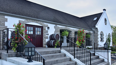
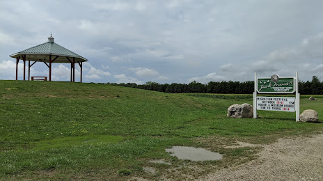
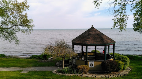
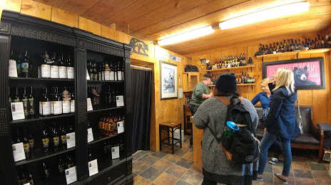
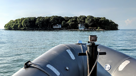
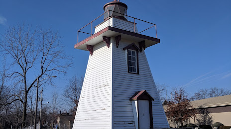
Attractions


Distance to the capital
Distance to the capital (Ottawa) is about — 679 km.