Windsor — Bellshill
Windsor — Staffordshire
Windsor — Cambridgeshire
Windsor — Began
Windsor — Camberley
Windsor — Corfe
Windsor — Canterbury
Windsor — Sunderland
Windsor — 伯斯
Windsor — Sutton Coldfield
Windsor — Llanelli
Windsor — Grantham
Windsor — Luton
Windsor — Long Itchington
Windsor — Grays
Windsor — Liverpool John Lennon Airport
Windsor — Crewkerne
Windsor — Clevedon
Windsor — Bournemouth
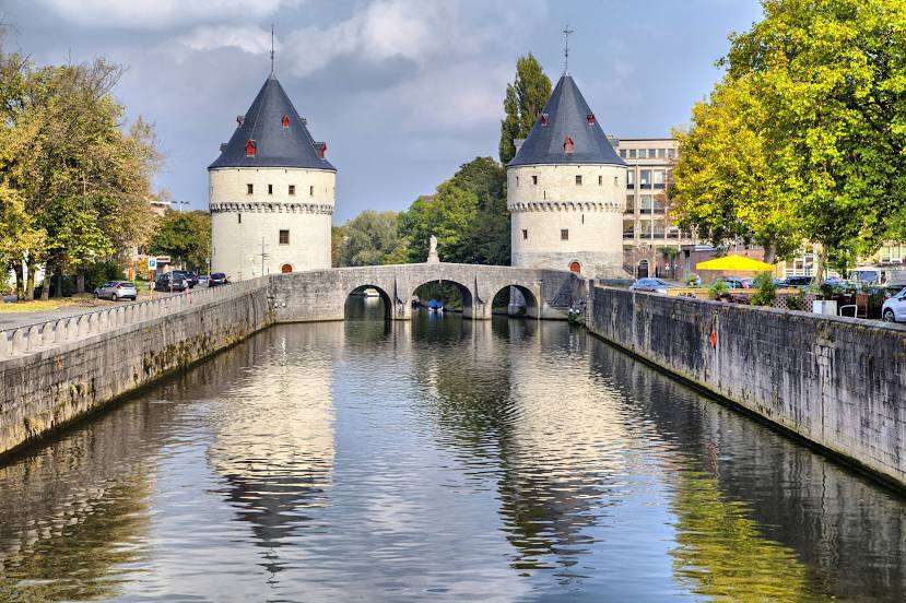
Windsor — Kortrijk distance, route on the map
Distance by car
Distance between Windsor, England, United Kingdom and Kortrijk, Flanders, Belgium by car is — km, or miles. To travel this distance by car, you need minute, or h.
Route on the map, driving directions
Car route Windsor — Kortrijk was created automatically. The road on the map is shown as a blue line. By moving the markers, you can create a new route through the points you need.
Distance by plane
If you decide to take a trip Windsor Kortrijk by plane, then you have to fly the distance — 280 km or 174 miles. It is marked on the map with a gray line (between two points in a straight line).
Flight time
Estimated flight time Windsor Kortrijk by plane at cruising speed 750 km / h will be — 22 min.
Direction of movement
United Kingdom, Windsor — left-hand traffic. Belgium, Kortrijk — right-hand traffic.
Difference in time
Windsor and Kortrijk are in different time zones. The time difference is 1 hour (UTC +1 Europe/London, UTC +2 Europe/Brussels).
Interesting Facts
Information on alternative ways to get to your destination.
The length of this distance is about 0.7% of the total length of the equator.
The percentage of the population is clearly shown in the graph:
Windsor — 28,324 (less by 45,555), Kortrijk — 73,879 residents.
The cost of travel
Calculate the cost of the trip yourself using the fuel consumption calculator, changing the data in the table.
Calculate the cost of other distances from the starting point — Windsor.