
 Rajgarh
Baban
Hahsara T.E. No.8 Lc.
Kherkhedi
Kherkhedi
Bhumiya
Chandigarh
Morshi
Barkur
Bakia
Radule
Queta
Tith Palu
Suratgarh
Nabinagar
Nasir Nagar
Banga Rural
Sode
Rajgarh
Rajgarh
Baban
Hahsara T.E. No.8 Lc.
Kherkhedi
Kherkhedi
Bhumiya
Chandigarh
Morshi
Barkur
Bakia
Radule
Queta
Tith Palu
Suratgarh
Nabinagar
Nasir Nagar
Banga Rural
Sode
Ayodhya on the map, India
Where is located Ayodhya
Exact location — Ayodhya, Faizabad, Uttar Pradesh, India, marked on the map with a red marker.
Coordinates
Ayodhya, India coordinates in decimal format: latitude — 26.7879633, longitude — 82.1985518. When converted to degrees, minutes, seconds Ayodhya has the following coordinates: 26°47′16.67 north latitude and 82°11′54.79 east longitude.
Exact time
Time zone for this location Ayodhya — UTC +5.5 Asia/Calcutta. Exact time — saturday, 6 june 2024 year, 07 h. 59 minutes.
Sunrise and sunset
Ayodhya, sunrise and sunset data for a date — saturday 29.06.2024.
| Sunrise | Sunset | Day (duration) |
|---|---|---|
| 05:13 -0 minutes | 18:56 +1 minute | 13 h. 42 minutes. +1 minute |
You can control the scale of the map using the auxiliary tools to find out exactly where it is located Ayodhya. When you change the scale of the map, the width of the ruler also changes (in kilometers and miles).
Nearby cities
The largest cities that are located nearby:
- Faizabad — 5 km
- Basti — 56 km
- Gorakhpur — 116 km
- Lucknow — 124 km
- Allahabad — 154 km
- Fatehpur — 168 km
- Kanpur — 189 km
- Ghazipur — 192 km
- Banda — 236 km
- Pokhara
 (Nepal) — 238 km
 - Shahjahanpur — 254 km
- Chhapra — 277 km
- Patan (Nepal) — 320 km
- Bareilly — 321 km
- Kathmandu (Nepal) — 323 km
- Haldwani — 373 km
- Firozabad — 376 km
- Jhansi — 392 km
- Moradabad — 401 km
Distance to neighboring capitals:
- Kathmandu (Nepal) — 326 km
- Thimphu
 (Bhutan) — 740 km
 - Dhaka
 (Bangladesh) — 890 km
 - Islamabad
 (Pakistan) — 1166 km
 - Kabul
 (Afghanistan) — 1513 km
 - Colombo
 (Sri Lanka) — 2223 km
 - Hanoi
 (Vietnam) — 2483 km
 - Astana
 (Kazakhstan) — 2858 km
 - Tehran
 (Iran) — 3075 km
 - Khan-Uul
 (Mongolian) — 3159 km
 - Beijing
 (China) — 3469 km
 - Pyongyang
 (North Korea) — 4244 km
 - Moscow
 (Russia) — 4792 km
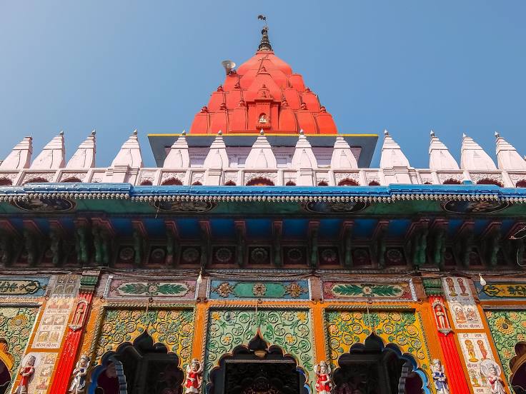
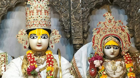
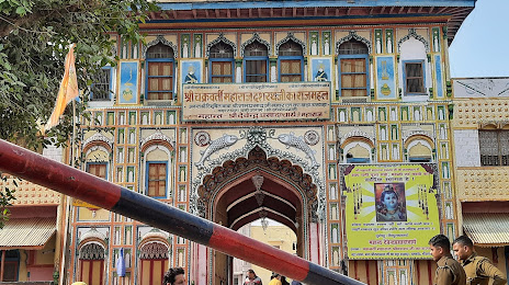
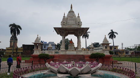
Attractions

Distance to the capital
Distance to the capital (New Delhi) is about — 532 km.