Wetherby — Great Haseley
Wetherby — Waterlooville
Wetherby — Peterculter
Wetherby — United Kingdom
Wetherby — Guilsfield
Wetherby — Brown Candover
Wetherby — Uxbridge
Wetherby — Skaw
Wetherby — Basildon
Wetherby — Maentwrog
Wetherby — Morar
Wetherby — Durness
Wetherby — Glogue
Wetherby — Everton
Wetherby — Barry
Wetherby — Aberdeen Airport
Wetherby — Edinburgh
Wetherby — Newenden
Wetherby — Nannerch
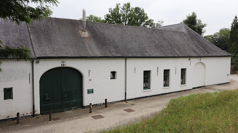
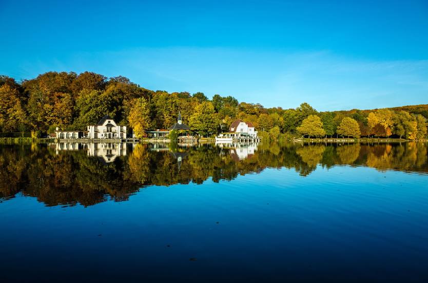
Wetherby — Hoeilaart distance, route on the map
Distance by car
Distance between Wetherby, England, United Kingdom and Hoeilaart, Flemish region, Belgium by car is — km, or miles. To travel this distance by car, you need minute, or h.
Route on the map, driving directions
Car route Wetherby — Hoeilaart was created automatically. The road on the map is shown as a blue line. By moving the markers, you can create a new route through the points you need.
Distance by plane
If you decide to take a trip Wetherby Hoeilaart by plane, then you have to fly the distance — 531 km or 329 miles. It is marked on the map with a gray line (between two points in a straight line).
Flight time
Estimated flight time Wetherby Hoeilaart by plane at cruising speed 750 km / h will be — 42 min.
Direction of movement
United Kingdom, Wetherby — left-hand traffic. Belgium, Hoeilaart — right-hand traffic.
Difference in time
Wetherby and Hoeilaart are in different time zones. The time difference is 1 hour (UTC +1 Europe/London, UTC +2 Europe/Brussels).
Interesting Facts
Information on alternative ways to get to your destination.
The length of this distance is about 1.3% of the total length of the equator.
The percentage of the population is clearly shown in the graph:
Wetherby — 10,797, Hoeilaart — 10,272 residents (less by 525).
The cost of travel
Calculate the cost of the trip yourself using the fuel consumption calculator, changing the data in the table.
Calculate the cost of other distances from the starting point — Wetherby.