
 Gholava
Ferozepur
Palwal
Mada
Dhanhara
Khoj
Una
Kodinar
Simiriya Tal
Baradia
Kajreti
Barkhiriya
Kumhedi
Ukhra
Taldi
Ulagani
Kadur
Raxaul
Khadra
Gholava
Ferozepur
Palwal
Mada
Dhanhara
Khoj
Una
Kodinar
Simiriya Tal
Baradia
Kajreti
Barkhiriya
Kumhedi
Ukhra
Taldi
Ulagani
Kadur
Raxaul
Khadra
Ramanathapuram on the map, India
Where is located Ramanathapuram
Exact location — Ramanathapuram, Ramanathapuram, Tamil Nadu, India, marked on the map with a red marker.
Coordinates
Ramanathapuram, India coordinates in decimal format: latitude — 9.370589, longitude — 78.8334566. When converted to degrees, minutes, seconds Ramanathapuram has the following coordinates: 9°22′14.12 north latitude and 78°50′0.44 east longitude.
Exact time
Time zone for this location Ramanathapuram — UTC +5.5 Asia/Calcutta. Exact time — friday, 7 july 2024 year, 22 h. 59 minutes.
Sunrise and sunset
Ramanathapuram, sunrise and sunset data for a date — friday 19.07.2024.
| Sunrise | Sunset | Day (duration) |
|---|---|---|
| 06:05 -0 minutes | 18:36 -0 minutes | 12 h. 30 minutes. -0 minutes |
You can control the scale of the map using the auxiliary tools to find out exactly where it is located Ramanathapuram. When you change the scale of the map, the width of the ruler also changes (in kilometers and miles).
Nearby cities
The largest cities that are located nearby:
- Madurai — 99 km
- Jaffna
 (Sri Lanka) — 134 km
 - Tirunelveli — 138 km
- Tiruchirappalli — 158 km
- Thanjavur — 160 km
- Kumbakonam — 186 km
- Nagercoil — 204 km
- Thiruvananthapuram — 228 km
- Kollam — 248 km
- Erode — 249 km
- Tiruppur — 251 km
- Salem — 264 km
- Negombo (Sri Lanka) — 265 km
- Trincomalee (Sri Lanka) — 272 km
- Alappuzha — 272 km
- Coimbatore — 273 km
- Cuddalore — 281 km
- Palakkad — 284 km
- Kochi — 286 km
Distance to neighboring capitals:
- Colombo (Sri Lanka) — 294 km
- Dhaka
 (Bangladesh) — 2023 km
 - Kathmandu
 (Nepal) — 2150 km
 - Thimphu
 (Bhutan) — 2311 km
 - Islamabad
 (Pakistan) — 2772 km
 - Kabul
 (Afghanistan) — 2967 km
 - Hanoi
 (Vietnam) — 3168 km
 - Tehran
 (Iran) — 4033 km
 - Astana
 (Kazakhstan) — 4697 km
 - Khan-Uul
 (Mongolian) — 5008 km
 - Beijing
 (China) — 5030 km
 - Pyongyang
 (North Korea) — 5701 km
 - Moscow
 (Russia) — 6282 km
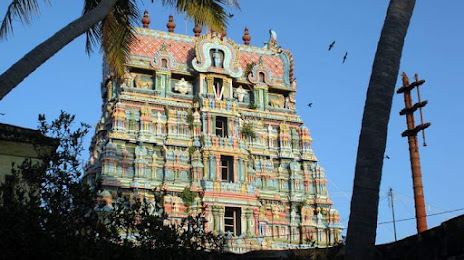
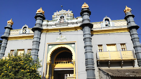
Attractions
Distance to the capital
Distance to the capital (New Delhi) is about — 2147 km.