Antrim — Watford
Antrim — Brodick
Antrim — United Kingdom
Antrim — Cambridgeshire
Antrim — Comp
Antrim — Abergynolwyn
Antrim — Dungannon and South Tyrone
Antrim — Threlkeld
Antrim — Cheriton Fitzpaine
Antrim — Prudhoe
Antrim — Peterculter
Antrim — Dinnet
Antrim — Cotts
Antrim — Bucklebury
Antrim — Eyam
Antrim — Lopen
Antrim — Coalville
Antrim — Brightwell Baldwin
Antrim — Pontefract
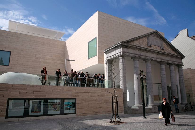
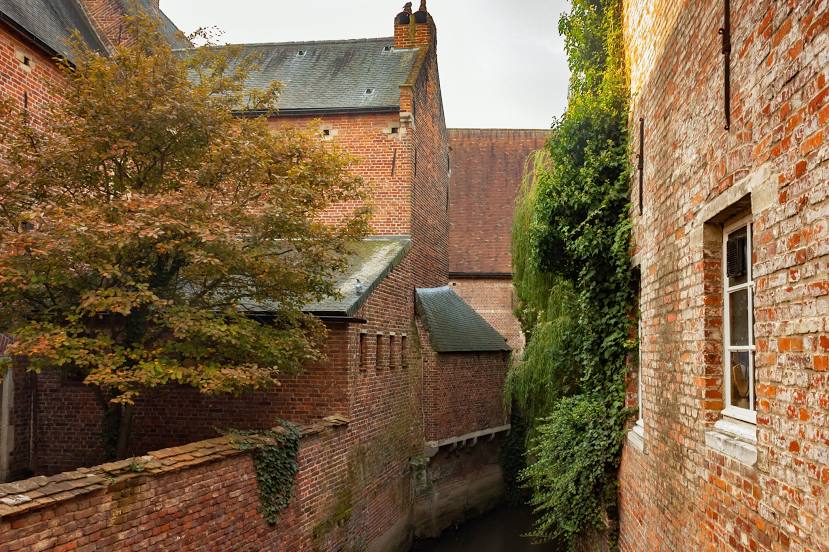
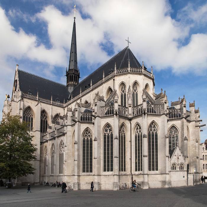
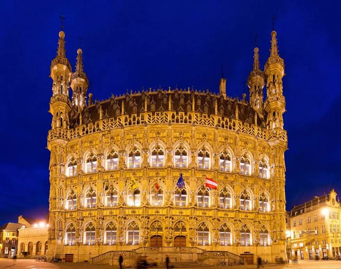
Antrim — Leuven distance, route on the map
Distance by car
Distance between Antrim, Northern Ireland, United Kingdom and Leuven, Flanders, Belgium by car is — km, or miles. To travel this distance by car, you need minute, or h.
Route on the map, driving directions
Car route Antrim — Leuven was created automatically. The road on the map is shown as a blue line. By moving the markers, you can create a new route through the points you need.
Distance by plane
If you decide to take a trip Antrim Leuven by plane, then you have to fly the distance — 847 km or 525 miles. It is marked on the map with a gray line (between two points in a straight line).
Flight time
Estimated flight time Antrim Leuven by plane at cruising speed 750 km / h will be — 1 h. and 7 min.
Direction of movement
United Kingdom, Antrim — left-hand traffic. Belgium, Leuven — right-hand traffic.
Difference in time
Antrim and Leuven are in different time zones. The time difference is 1 hour (UTC +1 Europe/London, UTC +2 Europe/Brussels).
Interesting Facts
Information on alternative ways to get to your destination.
The length of this distance is about 2.1% of the total length of the equator.
The percentage of the population is clearly shown in the graph:
Antrim — 19,661 (less by 73,231), Leuven — 92,892 residents.
The cost of travel
Calculate the cost of the trip yourself using the fuel consumption calculator, changing the data in the table.
Calculate the cost of other distances from the starting point — Antrim.