
 Middleburg
Sharpsburg
Arcade
Aniak Airport
Juncos
Yellowstone National Park
Arland
Slate
Hebron
Carmel-by-the-Sea
Corpus Christi
Queens
New York
Belcourt
Columbus
Calcutta
Vernon
Baden
Highland Charter Township
Middleburg
Sharpsburg
Arcade
Aniak Airport
Juncos
Yellowstone National Park
Arland
Slate
Hebron
Carmel-by-the-Sea
Corpus Christi
Queens
New York
Belcourt
Columbus
Calcutta
Vernon
Baden
Highland Charter Township
Brighton on the map, United States
Where is located Brighton
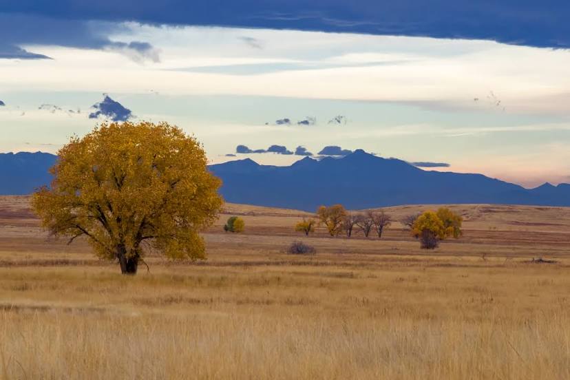
Exact location — Brighton, Adams County, Colorado, United States, marked on the map with a red marker.
Coordinates
Brighton, United States coordinates in decimal format: latitude — 39.9852617, longitude — -104.8205283. When converted to degrees, minutes, seconds Brighton has the following coordinates: 39°59′6.94 north latitude and -104°49′13.9 east longitude.
Population
Brighton, Adams County, Colorado, United States, according to our data the population is — 33,352 residents, which is about 0% of the total population of the country (United States).
Comparison of the population on the graph:
Exact time
Time zone for this location Brighton — UTC -6 America/Denver. Exact time — sunday, 4 april 2024 year, 18 h. 31 minute.
Sunrise and sunset
Brighton, sunrise and sunset data for a date — sunday 28.04.2024.
| Sunrise | Sunset | Day (duration) |
|---|---|---|
| 06:05 -1 minute | 19:48 +1 minute | 13 h. 42 minutes. +2 minutes |
You can control the scale of the map using the auxiliary tools to find out exactly where it is located Brighton. When you change the scale of the map, the width of the ruler also changes (in kilometers and miles).
Nearby cities
The largest cities that are located nearby:
- Thornton — 18 km
- Westminster — 25 km
- Aurora — 28 km
- Arvada — 30 km
- Denver — 31 km
- Lakewood — 38 km
- Fort Collins — 70 km
- Colorado Springs — 127 km
- Pueblo — 192 km
- Albuquerque — 565 km
- Provo — 578 km
- Amarillo — 592 km
- Valencia — 598 km
- Salt Lake City — 598 km
- West Jordan — 601 km
- West Valley City — 607 km
- Lincoln — 687 km
- Wichita — 702 km
- Omaha — 747 km
Distance to neighboring capitals:
- Mexico City
 (Mexico) — 2350 km
 - Ottawa
 (Canada) — 2441 km
 - Belmopan
 (Belize) — 2964 km
 - Guatemala City
 (Guatemala) — 3146 km
 - Nuuk
 (Greenland) — 4320 km
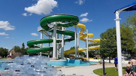
Attractions

Distance to the capital
Distance to the capital (Washington) is about — 2380 km.