 Cookstown
Tonbridge
March
Marden
Montrose
Penmaen
Dipton
Burton Latimer
Paisley
Thurton
Ballintoy
Ballintoy
Portaferry
Downpatrick
Buryas Bridge
Rostrevor
Wembley
Newcastle International Airport
London Southend Airport
Cookstown
Tonbridge
March
Marden
Montrose
Penmaen
Dipton
Burton Latimer
Paisley
Thurton
Ballintoy
Ballintoy
Portaferry
Downpatrick
Buryas Bridge
Rostrevor
Wembley
Newcastle International Airport
London Southend Airport
Letchworth Garden City on the map, United Kingdom
Where is located Letchworth Garden City
Exact location — Letchworth Garden City, Hertfordshire, England, United Kingdom, marked on the map with a red marker.
Coordinates
Letchworth Garden City, United Kingdom coordinates in decimal format: latitude — 51.979074, longitude — -0.226624. When converted to degrees, minutes, seconds Letchworth Garden City has the following coordinates: 51°58′44.67 north latitude and -0°13′35.85 east longitude.
Population
Letchworth Garden City, Hertfordshire, England, United Kingdom, according to our data the population is — 33,955 residents, which is about 0.1% of the total population of the country (United Kingdom).
Comparison of the population on the graph:
Exact time
Time zone for this location Letchworth Garden City — UTC +1 Europe/London. Exact time — friday, 4 april 2024 year, 09 h. 58 minutes.
Sunrise and sunset
Letchworth Garden City, sunrise and sunset data for a date — friday 26.04.2024.
| Sunrise | Sunset | Day (duration) |
|---|---|---|
| 05:43 -2 minutes | 20:13 +2 minutes | 14 h. 30 minutes. +4 minutes |
You can control the scale of the map using the auxiliary tools to find out exactly where it is located Letchworth Garden City. When you change the scale of the map, the width of the ruler also changes (in kilometers and miles).
Nearby cities
The largest cities that are located nearby:
- Luton — 17 km
- Cambridge — 34 km
- Watford — 37 km
- Northampton — 54 km
- Chelmsford — 55 km
- Slough — 58 km
- Basildon — 66 km
- Sutton — 68 km
- Oxford — 75 km
- Reading — 78 km
- Southend-on-Sea — 80 km
- Gillingham — 85 km
- Ipswich — 94 km
- Leicester — 95 km
- Crawley — 96 km
- Coventry — 99 km
- Swindon — 117 km
- Norwich — 125 km
- Birmingham — 125 km
Distance to neighboring capitals:
- Brussels
 (Belgium) — 341 km
 - Amsterdam
 (Netherlands) — 352 km
 - Paris
 (France) — 392 km
 - Paris (France) — 392 km
- Dublin
 (Ireland) — 434 km
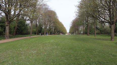
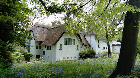
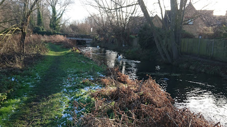
Attractions


Distance to the capital
Distance to the capital (London) is about — 53 km.