Wilson — Steinhatchee
Wilson — Shohola
Wilson — Quakake
Wilson — Hornbeck
Wilson — Wofford Heights
Wilson — Rawlings
Wilson — Miller City
Wilson — Cortlandt Manor
Wilson — Murphysboro
Wilson — Bangor
Wilson — Hamilton
Wilson — Camargo
Wilson — Evansville
Wilson — Rice
Wilson — Alden
Wilson — Port Lavaca
Wilson — East Vandergrift
Wilson — Jersey City
Wilson — Presque Isle
Lubbock County
Abernathy
Plainview
Kress
Tulia
Randall County
Canyon
Channing
Dalhart
Perico
Texline
Des Moines
Capulin
Raton
Trinidad
Ludlow
Aguilar
Walsenburg
Pueblo
Fountain
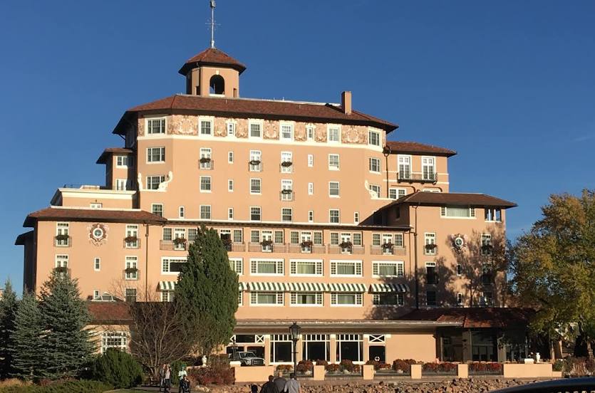
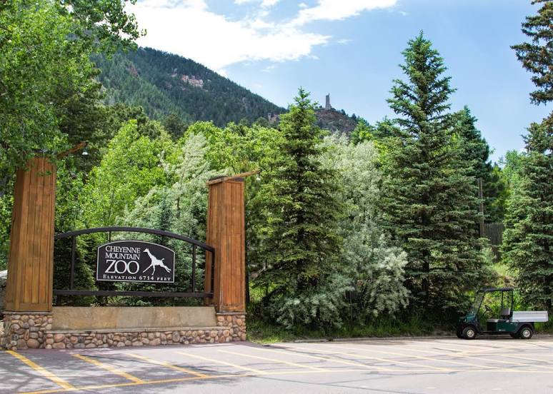
Colorado Springs
Wilson — Steinhatchee
Wilson — Shohola
Wilson — Quakake
Wilson — Hornbeck
Wilson — Wofford Heights
Wilson — Rawlings
Wilson — Miller City
Wilson — Cortlandt Manor
Wilson — Murphysboro
Wilson — Bangor
Wilson — Hamilton
Wilson — Camargo
Wilson — Evansville
Wilson — Rice
Wilson — Alden
Wilson — Port Lavaca
Wilson — East Vandergrift
Wilson — Jersey City
Wilson — Presque Isle
Lubbock County
Abernathy
Plainview
Kress
Tulia
Randall County
Canyon
Channing
Dalhart
Perico
Texline
Des Moines
Capulin
Raton
Trinidad
Ludlow
Aguilar
Walsenburg
Pueblo
Fountain
Colorado Springs
Wilson — Colorado Springs distance, route on the map
Distance by car
Distance between Wilson, Texas, United States and Colorado Springs, Colorado, United States by car is — km, or miles. To travel this distance by car, you need minute, or h.
Route on the map, driving directions
Car route Wilson — Colorado Springs was created automatically. The road on the map is shown as a blue line. By moving the markers, you can create a new route through the points you need.
Passing cities through which the car route passes: Lubbock, Lubbock County, Abernathy, Plainview, Kress, Tulia, Randall County, Canyon, Channing, Dalhart, Perico, Texline, Des Moines, Capulin, Raton, Trinidad, Ludlow, Aguilar, Walsenburg, Pueblo, Fountain, Colorado Springs.
Distance by plane
If you decide to take a trip Wilson Colorado Springs by plane, then you have to fly the distance — 674 km or 418 miles. It is marked on the map with a gray line (between two points in a straight line).
Flight time
Estimated flight time Wilson Colorado Springs by plane at cruising speed 750 km / h will be — 53 min.
Direction of movement
United States, Wilson — right-hand traffic. United States, Colorado Springs — right-hand traffic.
Difference in time
Wilson and Colorado Springs are in different time zones. The time difference is 1 hour (UTC -5 America/Chicago, UTC -6 America/Denver).
Interesting Facts
Information on alternative ways to get to your destination.
The length of this distance is about 1.7% of the total length of the equator.
The cost of travel
Calculate the cost of the trip yourself using the fuel consumption calculator, changing the data in the table.