Florennes — Hanzinelle
Florennes — Buggenhout
Florennes — Clermont
Florennes — Bambois
Florennes — Bornival
Florennes — Durbuy
Florennes — Forest
Florennes — Korbeek-Lo
Florennes — Zottegem
Florennes — Nalinnes
Florennes — Nieuwerkerken
Florennes — Libramont-Chevigny
Florennes — Haaltert
Florennes — Hemiksem
Florennes — Erpion
Florennes — Cordes
Florennes — Sainte-Marie-Geest
Florennes — Haillot
Florennes — Namur
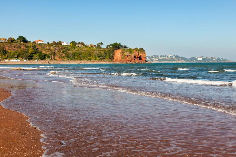
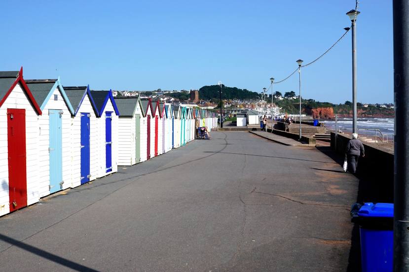
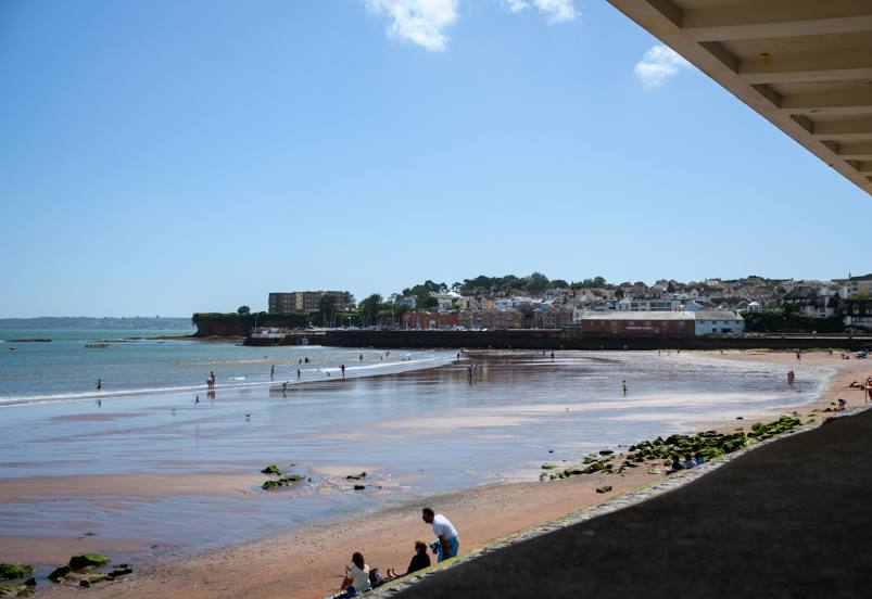
Florennes — Paignton distance, route on the map
Distance by car
Distance between Florennes, Walloon Region, Belgium and Paignton, England, United Kingdom by car is — km, or miles. To travel this distance by car, you need minute, or h.
Route on the map, driving directions
Car route Florennes — Paignton was created automatically. The road on the map is shown as a blue line. By moving the markers, you can create a new route through the points you need.
Distance by plane
If you decide to take a trip Florennes Paignton by plane, then you have to fly the distance — 580 km or 360 miles. It is marked on the map with a gray line (between two points in a straight line).
Flight time
Estimated flight time Florennes Paignton by plane at cruising speed 750 km / h will be — 46 min.
Direction of movement
Belgium, Florennes — right-hand traffic. United Kingdom, Paignton — left-hand traffic.
Difference in time
Florennes and Paignton are in different time zones. The time difference is 1 hour (UTC +2 Europe/Brussels, UTC +1 Europe/London).
Interesting Facts
Information on alternative ways to get to your destination.
The length of this distance is about 1.4% of the total length of the equator.
The percentage of the population is clearly shown in the graph:
Florennes — 10,723 (less by 39,163), Paignton — 49,886 residents.
The cost of travel
Calculate the cost of the trip yourself using the fuel consumption calculator, changing the data in the table.