 Farnborough
Tidworth
Portrush
Maghera
Bryanston
Dunvegan
Welshpool
Newmarket
Ilketshall Saint Margaret
Northam
Hebburn
Diss
Wythenshawe
Martham
Lilbourne
Cushendun
Stranocum
Armoy
Dunseverick
Farnborough
Tidworth
Portrush
Maghera
Bryanston
Dunvegan
Welshpool
Newmarket
Ilketshall Saint Margaret
Northam
Hebburn
Diss
Wythenshawe
Martham
Lilbourne
Cushendun
Stranocum
Armoy
Dunseverick
Horsham on the map, United Kingdom
Where is located Horsham
Exact location — Horsham, West Sussex, England, United Kingdom, marked on the map with a red marker.
Coordinates
Horsham, United Kingdom coordinates in decimal format: latitude — 51.062883, longitude — -0.325858. When converted to degrees, minutes, seconds Horsham has the following coordinates: 51°3′46.38 north latitude and -0°19′33.09 east longitude.
Population
Horsham, West Sussex, England, United Kingdom, according to our data the population is — 50,680 residents, which is about 0.1% of the total population of the country (United Kingdom).
Comparison of the population on the graph:
Exact time
Time zone for this location Horsham — UTC +1 Europe/London. Exact time — friday, 4 april 2024 year, 02 h. 31 minute.
Sunrise and sunset
Horsham, sunrise and sunset data for a date — friday 26.04.2024.
| Sunrise | Sunset | Day (duration) |
|---|---|---|
| 05:46 -2 minutes | 20:11 +2 minutes | 14 h. 24 minutes. +4 minutes |
You can control the scale of the map using the auxiliary tools to find out exactly where it is located Horsham. When you change the scale of the map, the width of the ruler also changes (in kilometers and miles).
Nearby cities
The largest cities that are located nearby:
- Crawley — 11 km
- Sutton — 34 km
- Slough — 53 km
- Eastbourne — 54 km
- Portsmouth — 60 km
- Reading — 62 km
- Watford — 66 km
- Gillingham — 70 km
- Southampton — 77 km
- Basildon — 80 km
- Southend-on-Sea — 89 km
- Luton — 90 km
- Chelmsford — 92 km
- Oxford — 99 km
- Swindon — 114 km
- Bournemouth — 115 km
- Cambridge — 130 km
- Northampton — 136 km
- Ipswich — 149 km
Distance to neighboring capitals:
- Paris
 (France) — 311 km
 - Paris (France) — 311 km
- Brussels
 (Belgium) — 329 km
 - Amsterdam
 (Netherlands) — 388 km
 - Dublin
 (Ireland) — 478 km
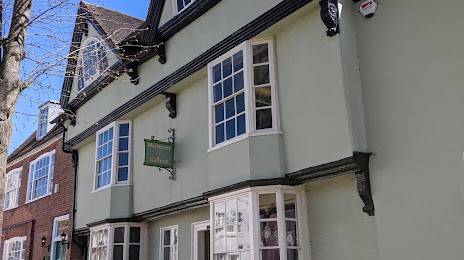
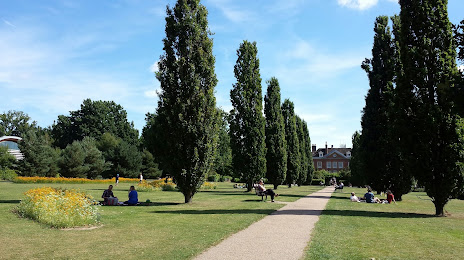
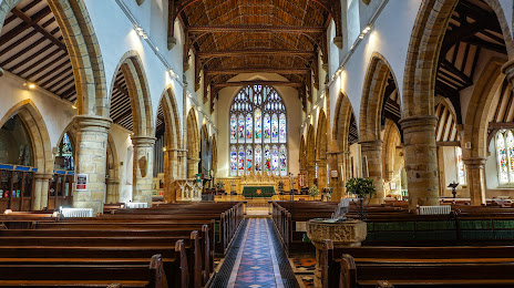
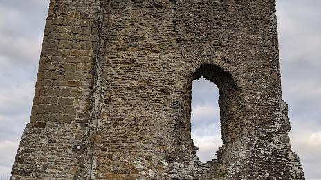
Attractions


Distance to the capital
Distance to the capital (London) is about — 51 km.