 Bilston
Alfriston
Brockenhurst
Mumby
Burren
Bowston
Brigsteer
Coniston
Tattershall
Tadley
Warwickshire
North Walsham
Henley-in-Arden
Halfway
Mayfield
Heckington
Lapworth
Malvern Wells
Dailly
Bilston
Alfriston
Brockenhurst
Mumby
Burren
Bowston
Brigsteer
Coniston
Tattershall
Tadley
Warwickshire
North Walsham
Henley-in-Arden
Halfway
Mayfield
Heckington
Lapworth
Malvern Wells
Dailly
Wickford on the map, United Kingdom
Where is located Wickford
Exact location — Wickford, Essex, England, United Kingdom, marked on the map with a red marker.
Coordinates
Wickford, United Kingdom coordinates in decimal format: latitude — 51.611309, longitude — 0.52068. When converted to degrees, minutes, seconds Wickford has the following coordinates: 51°36′40.71 north latitude and 0°31′14.45 east longitude.
Population
Wickford, Essex, England, United Kingdom, according to our data the population is — 32,975 residents, which is about 0% of the total population of the country (United Kingdom).
Comparison of the population on the graph:
Exact time
Time zone for this location Wickford — UTC +1 Europe/London. Exact time — monday, 4 april 2024 year, 12 h. 06 minutes.
Sunrise and sunset
Wickford, sunrise and sunset data for a date — monday 29.04.2024.
| Sunrise | Sunset | Day (duration) |
|---|---|---|
| 05:35 -2 minutes | 20:14 +2 minutes | 14 h. 42 minutes. +4 minutes |
You can control the scale of the map using the auxiliary tools to find out exactly where it is located Wickford. When you change the scale of the map, the width of the ruler also changes (in kilometers and miles).
Nearby cities
The largest cities that are located nearby:
- Basildon — 4 km
- Chelmsford — 14 km
- Southend-on-Sea — 15 km
- Gillingham — 25 km
- Sutton — 57 km
- Watford — 63 km
- Ipswich — 65 km
- Luton — 71 km
- Cambridge — 71 km
- Crawley — 74 km
- Slough — 78 km
- Eastbourne — 95 km
- Reading — 105 km
- Northampton — 119 km
- Oxford — 123 km
- Norwich — 124 km
- Portsmouth — 142 km
- Southampton — 155 km
- Swindon — 158 km
Distance to neighboring capitals:
- Brussels
 (Belgium) — 280 km
 - Amsterdam
 (Netherlands) — 311 km
 - Paris
 (France) — 333 km
 - Paris (France) — 333 km
- Dublin
 (Ireland) — 498 km
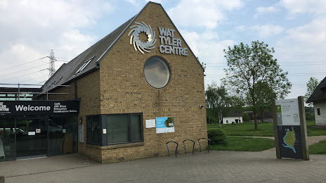
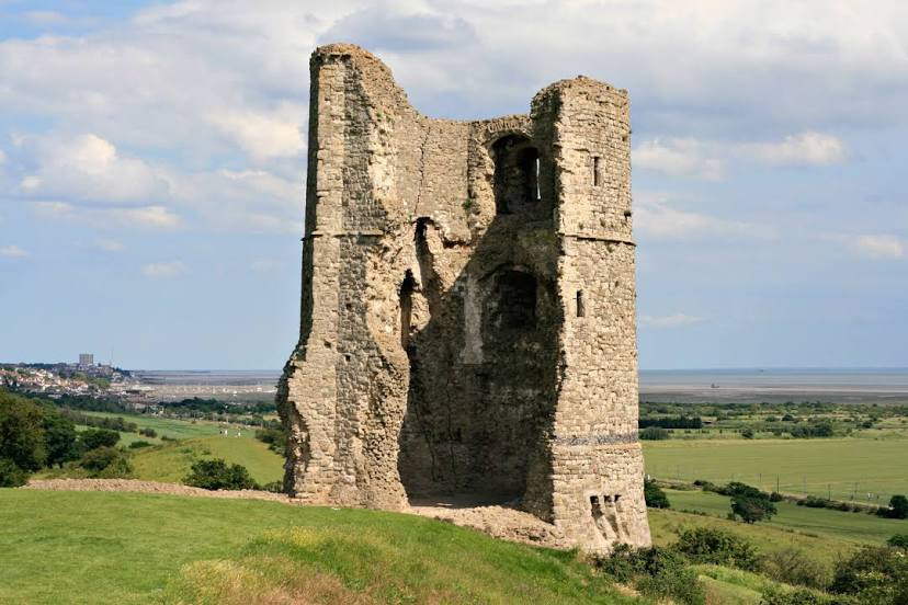
Attractions


Distance to the capital
Distance to the capital (London) is about — 46 km.