
 Marcinelle
Elingen
Rouveroy
Lontzen
Esneux
Wuustwezel
Ellikom
Jehanster
Cerfontaine
Brussels South Charleroi Airport
Sivry-Rance
Verlaine-sur-Ourthe
Berloz
Beauraing
Vise
Marcinelle
Elingen
Rouveroy
Lontzen
Esneux
Wuustwezel
Ellikom
Jehanster
Cerfontaine
Brussels South Charleroi Airport
Sivry-Rance
Verlaine-sur-Ourthe
Berloz
Beauraing
Vise
De Pinte on the map, Belgium
Where is located De Pinte
Exact location — De Pinte, East Flanders, Flanders, Belgium, marked on the map with a red marker.
Coordinates
De Pinte, Belgium coordinates in decimal format: latitude — 50.99177, longitude — 3.64936. When converted to degrees, minutes, seconds De Pinte has the following coordinates: 50°59′30.37 north latitude and 3°38′57.7 east longitude.
Population
De Pinte, East Flanders, Flanders, Belgium, according to our data the population is — 10,020 residents, which is about 0.1% of the total population of the country (Belgium).
Comparison of the population on the graph:
Exact time
Time zone for this location De Pinte — UTC +2 Europe/Brussels. Exact time — tuesday, 5 may 2024 year, 17 h. 39 minutes.
Sunrise and sunset
De Pinte, sunrise and sunset data for a date — tuesday 14.05.2024.
| Sunrise | Sunset | Day (duration) |
|---|---|---|
| 06:00 -1 minute | 21:23 +2 minutes | 15 h. 24 minutes. +3 minutes |
You can control the scale of the map using the auxiliary tools to find out exactly where it is located De Pinte. When you change the scale of the map, the width of the ruler also changes (in kilometers and miles).
Nearby cities
The largest cities that are located nearby:
- Lille
 (France) — 58 km
 - Antwerp — 58 km
- Charleroi — 85 km
- Breda
 (Netherlands) — 101 km
 - Namur — 104 km
- Dordrecht (Netherlands) — 115 km
- Tilburg (Netherlands) — 117 km
- Rotterdam (Netherlands) — 118 km
- The Hague (Netherlands) — 127 km
- Zoetermeer (Netherlands) — 131 km
- Eindhoven (Netherlands) — 135 km
- 's-Hertogenbosch (Netherlands) — 138 km
- Liège — 141 km
- Leiden (Netherlands) — 141 km
- Maastricht (Netherlands) — 143 km
- Amiens (France) — 155 km
- Utrecht (Netherlands) — 157 km
- Hoofddorp (Netherlands) — 161 km
- Haarlem (Netherlands) — 168 km
Distance to neighboring capitals:
- Amsterdam (Netherlands) — 176 km
- Paris (France) — 255 km
- Paris (France) — 255 km
- Bern
 (Switzerland) — 528 km
 - Berlin
 (Germany) — 692 km
 - Prague
 (Czech Republic) — 769 km
 - Copenhagen
 (Denmark) — 788 km
 - Vienna
 (Austria) — 967 km
 - Warsaw
 (Poland) — 1204 km
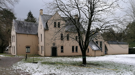
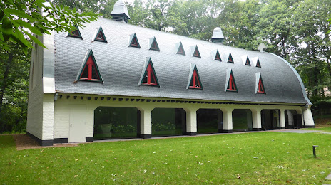
Attractions
Distance to the capital
Distance to the capital (Brussels) is about — 52 km.