Amesbury — Cannock
Amesbury — Tring
Amesbury — Buryas Bridge
Amesbury — Saint Giles in the Wood
Amesbury — Nantwich
Amesbury — Dolgellau
Amesbury — Beckford
Amesbury — Dover
Amesbury — Porth
Amesbury — Llandudno Junction
Amesbury — Northampton
Amesbury — Billington
Amesbury — Falmouth
Amesbury — Weston-super-Mare
Amesbury — Edenbridge
Amesbury — Glasgow
Amesbury — Birmingham Airport
Amesbury — Southall
Amesbury — Bale
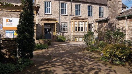
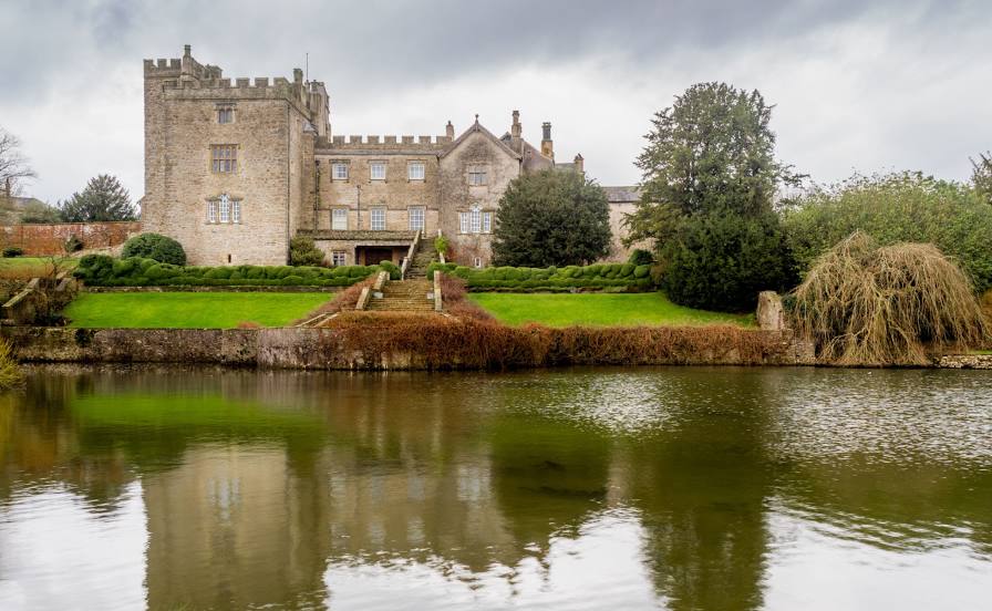
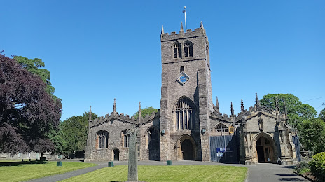
Amesbury — Kendal distance, route on the map
Distance by car
Distance between Amesbury, England, United Kingdom and Kendal, England, United Kingdom by car is — km, or miles. To travel this distance by car, you need minute, or h.
Route on the map, driving directions
Car route Amesbury — Kendal was created automatically. The road on the map is shown as a blue line. By moving the markers, you can create a new route through the points you need.
Distance by plane
If you decide to take a trip Amesbury Kendal by plane, then you have to fly the distance — 358 km or 222 miles. It is marked on the map with a gray line (between two points in a straight line).
Flight time
Estimated flight time Amesbury Kendal by plane at cruising speed 750 km / h will be — 28 min.
Direction of movement
United Kingdom, Amesbury — left-hand traffic. United Kingdom, Kendal — left-hand traffic.
Difference in time
Amesbury and Kendal are in the same time zone. Between them there is no time difference (UTC +1 Europe/London).
Interesting Facts
Information on alternative ways to get to your destination.
The length of this distance is about 0.9% of the total length of the equator.
The percentage of the population is clearly shown in the graph:
Amesbury — 8,497 (less by 20,971), Kendal — 29,468 residents.
The cost of travel
Calculate the cost of the trip yourself using the fuel consumption calculator, changing the data in the table.