
 Bokamoso
Buysdorp
Xihosana
Ga-Sekororo
Ga-Rankuwa
Three Sisters
George
Haenertsburg
Polokwane
Bokamoso
Buysdorp
Xihosana
Ga-Sekororo
Ga-Rankuwa
Three Sisters
George
Haenertsburg
Polokwane
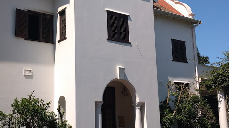
African Art Centre on the map, Durban, South Africa
Photo
Where is located African Art Centre
African Art Centre — local attraction, which is located at no data and belongs to the category — -. Average visitor rating for this place — 4.0 (according to 5 ratings, information from open sources and relevant for 2022).
Exact location — African Art Centre, marked on the map with a red marker.
You can get directions to African Art Centre on the map from your location.
What else is interesting in Durban? You can see all the sights if you go to the city page.
Coordinates
African Art Centre, South Africa coordinates in decimal format: latitude — -29.834972871063705, longitude — 31.004703797635152. When converted to degrees, minutes, seconds African Art Centre has the following coordinates: -29°50′5.9 north latitude and 31°0′16.93 east longitude.
Nearby cities
The largest cities that are located nearby:
- Pietermaritzburg — 68 km
- Richards Bay — 155 km
- Vryheid — 232 km
- Newcastle — 257 km
- Maseru
 (Lesotho) — 347 km
 - Manzini
 (Swaziland) — 372 km
 - Bethal — 406 km
- Embalenhle — 413 km
- Botshabelo — 419 km
- Kroonstad — 444 km
- Queenstown — 446 km
- Virginia — 450 km
- East London — 453 km
- Maputo
 (Mozambique) — 457 km
 - Matola (Mozambique) — 458 km
- Nigel — 460 km
- Vereeniging — 466 km
- Welkom — 468 km
- Bisho — 469 km
Distance to the capital
Distance to the capital (Pretoria) is about — 533 km.