
 Pointe-à-la-Croix
Sainte-Irène, Quebec
Marsoui
Hecla
Muskrat Dam
Wunnummin Lake
Sainte-Brigitte-de-Laval
Drayton
Mauricie
Pointe-à-la-Croix
Sainte-Irène, Quebec
Marsoui
Hecla
Muskrat Dam
Wunnummin Lake
Sainte-Brigitte-de-Laval
Drayton
Mauricie
Inglis Falls Conservation Area on the map, Owen Sound, Canada
Photo
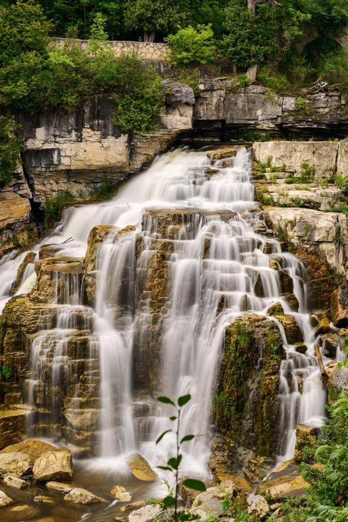
Where is located Inglis Falls Conservation Area
Inglis Falls Conservation Area — local attraction, which is located at 237785 Inglis Falls Rd, Owen Sound, ON N4K 5N6, Canada and belongs to the category — waterfall. Average visitor rating for this place — 4.6 (according to 1691 rating, information from open sources and relevant for 2022).
Exact location — Inglis Falls Conservation Area, marked on the map with a red marker.
You can get directions to Inglis Falls Conservation Area on the map from your location.
What else is interesting in Owen Sound? You can see all the sights if you go to the city page.
Coordinates
Inglis Falls Conservation Area, Canada coordinates in decimal format: latitude — 44.531038857627955, longitude — -80.93667473079164. When converted to degrees, minutes, seconds Inglis Falls Conservation Area has the following coordinates: 44°31′51.74 north latitude and -80°56′12.03 east longitude.
Nearby cities
The largest cities that are located nearby:
- Barrie — 101 km
- Guelph — 126 km
- Waterloo — 127 km
- Brampton — 132 km
- Kitchener — 133 km
- Vaughan — 140 km
- Richmond Hill — 142 km
- Cambridge — 143 km
- Mississauga — 150 km
- Markham — 150 km
- Oakville — 158 km
- Toronto — 161 km
- Burlington — 165 km
- Hamilton — 170 km
- Whitby — 176 km
- London — 177 km
- Oshawa — 181 km
- Saint Catharines — 207 km
- Amherst
 (United States) — 248 km
Distance to the capital
Distance to the capital (Ottawa) is about — 424 km.