Arenys de Mar — Junguitu
Arenys de Mar — Alhambra
Arenys de Mar — Eslida
Arenys de Mar — Arenillas
Arenys de Mar — Fuentes de Oñoro
Arenys de Mar — Aiguamúrcia
Arenys de Mar — Barracas
Arenys de Mar — Matadeón de los Oteros
Arenys de Mar — Villanueva de Bogas
Arenys de Mar — Encinas Reales
Arenys de Mar — Outomuro
Arenys de Mar — Montroy
Arenys de Mar — Tembleque
Arenys de Mar — Manzanares el Real
Arenys de Mar — Sanet y Negrals
Arenys de Mar — Brenes
Arenys de Mar — Olaz
Arenys de Mar — Pastoriza
Arenys de Mar — Zorita de los Canes
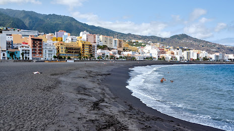
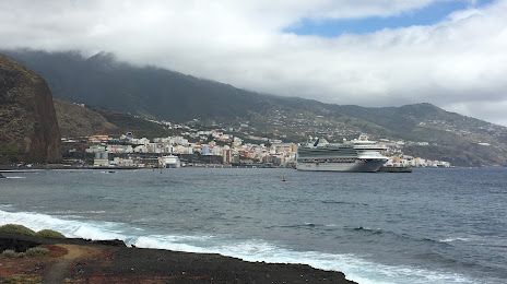
Arenys de Mar — Santa Cruz de la Palma distance, route on the map
Distance by car
Distance between Arenys de Mar, Catalunya, Spain and Santa Cruz de la Palma, Canarias, Spain by car is — km, or miles. To travel this distance by car, you need minute, or h.
Route on the map, driving directions
Car route Arenys de Mar — Santa Cruz de la Palma was created automatically. The road on the map is shown as a blue line. By moving the markers, you can create a new route through the points you need.
Distance by plane
If you decide to take a trip Arenys de Mar Santa Cruz de la Palma by plane, then you have to fly the distance — 2329 km or 1444 miles. It is marked on the map with a gray line (between two points in a straight line).
Flight time
Estimated flight time Arenys de Mar Santa Cruz de la Palma by plane at cruising speed 750 km / h will be — 3 h. and 6 min.
Direction of movement
Spain, Arenys de Mar — right-hand traffic. Spain, Santa Cruz de la Palma — right-hand traffic.
Difference in time
Arenys de Mar and Santa Cruz de la Palma are in different time zones. The time difference is 1 hour (UTC +2 Europe/Madrid, UTC +1 Atlantic/Canary).
Interesting Facts
Information on alternative ways to get to your destination.
The length of this distance is about 5.8% of the total length of the equator.
The percentage of the population is clearly shown in the graph:
Arenys de Mar — 13,869 (less by 6,632), Santa Cruz de la Palma — 20,501 residents.
The cost of travel
Calculate the cost of the trip yourself using the fuel consumption calculator, changing the data in the table.