
 Pfarrwerfen
Rosenau am Hengstpaß
Grinzens
Sankt Martin am Wöllmißberg
Sankt Martin am Silberberg
Söding
Felixdorf
Oberpullendorf District
Fließ
Pfarrwerfen
Rosenau am Hengstpaß
Grinzens
Sankt Martin am Wöllmißberg
Sankt Martin am Silberberg
Söding
Felixdorf
Oberpullendorf District
Fließ
Maria-Theresien-Platz on the map, Vienna, Austria
Photo
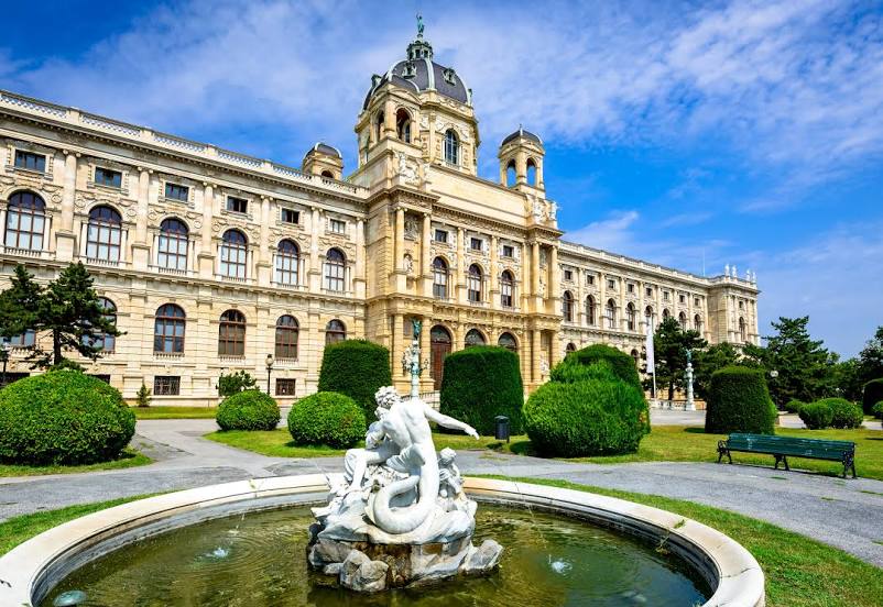
Where is located Maria-Theresien-Platz
Maria-Theresien-Platz — local attraction, which is located at Burgring 5, 1010 Wien, Austria and belongs to the category — plaza. Average visitor rating for this place — 4.7 (according to 21232 ratings, information from open sources and relevant for 2022).
Exact location — Maria-Theresien-Platz, marked on the map with a red marker.
You can get directions to Maria-Theresien-Platz on the map from your location.
What else is interesting in Vienna? You can see all the sights if you go to the city page.
Coordinates
Maria-Theresien-Platz, Austria coordinates in decimal format: latitude — 48.204683415400645, longitude — 16.360611298176245. When converted to degrees, minutes, seconds Maria-Theresien-Platz has the following coordinates: 48°12′16.86 north latitude and 16°21′38.2 east longitude.
Nearby cities
The largest cities that are located nearby:
- Bratislava
 (Slovakia) — 55 km
 - Brno
 (Czech Republic) — 110 km
 - Győr
 (Hungary) — 111 km
 - Graz — 144 km
- Linz — 154 km
- Olomouc (Czech Republic) — 166 km
- Székesfehérvár (Hungary) — 191 km
- Budapest (Hungary) — 214 km
- Ostrava (Czech Republic) — 223 km
- Prague (Czech Republic) — 248 km
- Salzburg — 250 km
- Rybnik
 (Poland) — 260 km
 - Bielsko-Biala (Poland) — 262 km
- Zagreb
 (Croatia) — 266 km
 - Pilsen (Czech Republic) — 273 km
- Pécs (Hungary) — 276 km
- Ljubljana
 (Slovenia) — 278 km
 - Gliwice (Poland) — 282 km
- Walbrzych (Poland) — 285 km