
 Padul
Jaraicejo
Villanueva de la Sierra
Villar de Plasencia
San Bartolomé de Tirajana
Tiebas
Agurain
Castejón de Monegros
Gaucín
Ablitas
Arévalo
Ajofrín
Sonseca
Villarta de San Juan
Ares del Maestrat
Los Santos de la Humosa
Alforja
Navardún
La Marina
Padul
Jaraicejo
Villanueva de la Sierra
Villar de Plasencia
San Bartolomé de Tirajana
Tiebas
Agurain
Castejón de Monegros
Gaucín
Ablitas
Arévalo
Ajofrín
Sonseca
Villarta de San Juan
Ares del Maestrat
Los Santos de la Humosa
Alforja
Navardún
La Marina
Sanlúcar la Mayor on the map, Spain
Where is located Sanlúcar la Mayor
Exact location — Sanlúcar la Mayor, Sevilla, Andalucía, Spain, marked on the map with a red marker.
Coordinates
Sanlúcar la Mayor, Spain coordinates in decimal format: latitude — 37.3870837, longitude — -6.2017649. When converted to degrees, minutes, seconds Sanlúcar la Mayor has the following coordinates: 37°23′13.5 north latitude and -6°12′6.35 east longitude.
Population
Sanlúcar la Mayor, Sevilla, Andalucía, Spain, according to our data the population is — 11,143 residents, which is about 0% of the total population of the country (Spain).
Comparison of the population on the graph:
Exact time
Time zone for this location Sanlúcar la Mayor — UTC +2 Europe/Madrid. Exact time — wednesday, 5 may 2024 year, 04 h. 30 minutes.
Sunrise and sunset
Sanlúcar la Mayor, sunrise and sunset data for a date — wednesday 15.05.2024.
| Sunrise | Sunset | Day (duration) |
|---|---|---|
| 07:18 -1 minute | 21:23 -0 minutes | 14 h. 6 minutes. +1 minute |
You can control the scale of the map using the auxiliary tools to find out exactly where it is located Sanlúcar la Mayor. When you change the scale of the map, the width of the ruler also changes (in kilometers and miles).
Nearby cities
The largest cities that are located nearby:
- Dos Hermanas — 27 km
- Huelva — 67 km
- Jerez — 78 km
- Cádiz — 95 km
- Córdoba — 136 km
- Marbella — 152 km
- Algeciras — 153 km
- Málaga — 172 km
- Badajoz — 178 km
- Tangier
 (Morocco) — 183 km
 - Tetouan (Morocco) — 215 km
- Jaén — 216 km
- Granada — 230 km
- Lisbon
 (Portugal) — 293 km
 - Amadora (Portugal) — 301 km
- Queluz (Portugal) — 304 km
- Almería — 336 km
- Taounate (Morocco) — 346 km
- Kenitra (Morocco) — 349 km
Distance to neighboring capitals:
- Lisbon (Portugal) — 297 km
- Rabat (Morocco) — 384 km
- Andorra la Vella
 (Andorra) — 870 km
 - Paris
 (France) — 1450 km
 - Paris (France) — 1450 km
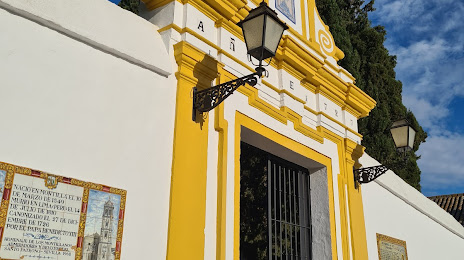
Attractions

Distance to the capital
Distance to the capital (Madrid) is about — 400 km.