Braine-l'Alleud — Member
Braine-l'Alleud — Minderhout
Braine-l'Alleud — Soignies
Braine-l'Alleud — Borlez
Braine-l'Alleud — Antwerp
Braine-l'Alleud — Battice
Braine-l'Alleud — Amonines
Braine-l'Alleud — Harveng
Braine-l'Alleud — Saives
Braine-l'Alleud — Heure-Le-Romain
Braine-l'Alleud — Wiers
Braine-l'Alleud — Aarschot
Braine-l'Alleud — Marchin
Braine-l'Alleud — Renlies
Braine-l'Alleud — Deux-Acren
Braine-l'Alleud — Sint-Jans-Molenbeek
Braine-l'Alleud — Manhay
Braine-l'Alleud — Pironchamps
Braine-l'Alleud — Heinstert
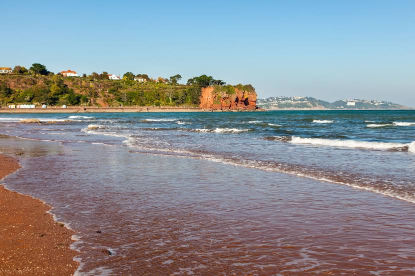
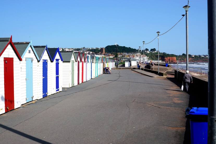
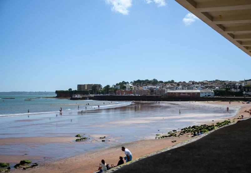
Braine-l'Alleud — Paignton distance, route on the map
Distance by car
Distance between Braine-l'Alleud, Walloon Region, Belgium and Paignton, England, United Kingdom by car is — km, or miles. To travel this distance by car, you need minute, or h.
Route on the map, driving directions
Car route Braine-l'Alleud — Paignton was created automatically. The road on the map is shown as a blue line. By moving the markers, you can create a new route through the points you need.
Distance by plane
If you decide to take a trip Braine-l'Alleud Paignton by plane, then you have to fly the distance — 562 km or 348 miles. It is marked on the map with a gray line (between two points in a straight line).
Flight time
Estimated flight time Braine-l'Alleud Paignton by plane at cruising speed 750 km / h will be — 44 min.
Direction of movement
Belgium, Braine-l'Alleud — right-hand traffic. United Kingdom, Paignton — left-hand traffic.
Difference in time
Braine-l'Alleud and Paignton are in different time zones. The time difference is 1 hour (UTC +2 Europe/Brussels, UTC +1 Europe/London).
Interesting Facts
Information on alternative ways to get to your destination.
The length of this distance is about 1.4% of the total length of the equator.
The percentage of the population is clearly shown in the graph:
Braine-l'Alleud — 37,512 (less by 12,374), Paignton — 49,886 residents.
The cost of travel
Calculate the cost of the trip yourself using the fuel consumption calculator, changing the data in the table.