 Leighton Bromswold
Taynuilt
Highley
Llandyrnog
Kirkby Malzeard
Little Haseley
Fontmell Magna
Milton Damerel
Ulleskelf
Braughing
Broadwoodwidger
Great Munden
Stonegrave
Friockheim
Drighlington
Conlig
Llanfaelog
Beddgelert
Tardebigge
Leighton Bromswold
Taynuilt
Highley
Llandyrnog
Kirkby Malzeard
Little Haseley
Fontmell Magna
Milton Damerel
Ulleskelf
Braughing
Broadwoodwidger
Great Munden
Stonegrave
Friockheim
Drighlington
Conlig
Llanfaelog
Beddgelert
Tardebigge
Oswestry on the map, United Kingdom
Where is located Oswestry
Exact location — Oswestry, Shropshire, England, United Kingdom, marked on the map with a red marker.
Coordinates
Oswestry, United Kingdom coordinates in decimal format: latitude — 52.857148, longitude — -3.056412. When converted to degrees, minutes, seconds Oswestry has the following coordinates: 52°51′25.73 north latitude and -3°3′23.08 east longitude.
Population
Oswestry, Shropshire, England, United Kingdom, according to our data the population is — 17,031 residents, which is about 0% of the total population of the country (United Kingdom).
Comparison of the population on the graph:
Exact time
Time zone for this location Oswestry — UTC +1 Europe/London. Exact time — sunday, 4 april 2024 year, 01 h. 50 minutes.
Sunrise and sunset
Oswestry, sunrise and sunset data for a date — sunday 28.04.2024.
| Sunrise | Sunset | Day (duration) |
|---|---|---|
| 05:48 -2 minutes | 20:30 +1 minute | 14 h. 42 minutes. +3 minutes |
You can control the scale of the map using the auxiliary tools to find out exactly where it is located Oswestry. When you change the scale of the map, the width of the ruler also changes (in kilometers and miles).
Nearby cities
The largest cities that are located nearby:
- Telford — 45 km
- Stoke-on-Trent — 61 km
- Liverpool — 61 km
- Dudley — 76 km
- West Bromwich — 81 km
- Manchester — 87 km
- Birmingham — 89 km
- Sutton Coldfield — 89 km
- Worcester — 93 km
- Preston — 103 km
- Blackburn — 105 km
- Coventry — 115 km
- Sheffield — 120 km
- Huddersfield — 121 km
- Cheltenham — 125 km
- Rotherham — 128 km
- Leicester — 131 km
- Bristol — 158 km
- Northampton — 161 km
Distance to neighboring capitals:
- Dublin
 (Ireland) — 221 km
 - Amsterdam
 (Netherlands) — 539 km
 - Brussels
 (Belgium) — 555 km
 - Paris
 (France) — 585 km
 - Paris (France) — 585 km
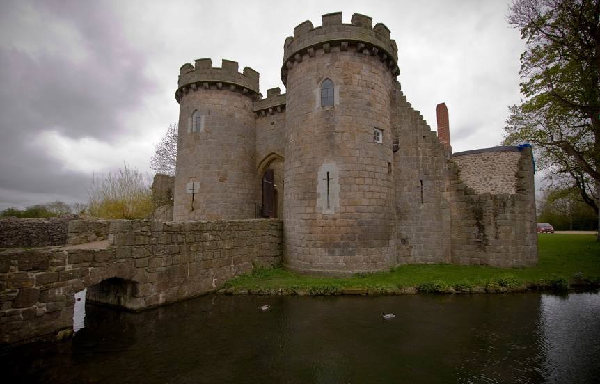
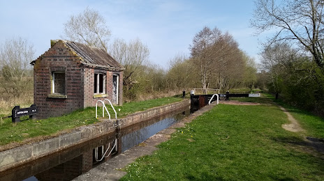
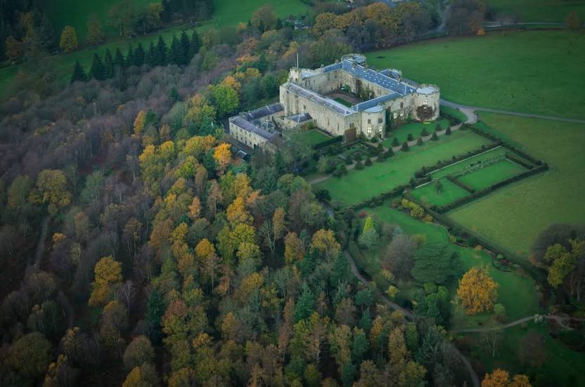
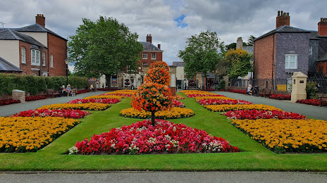
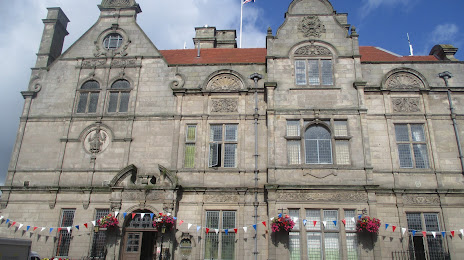
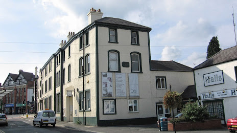
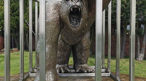
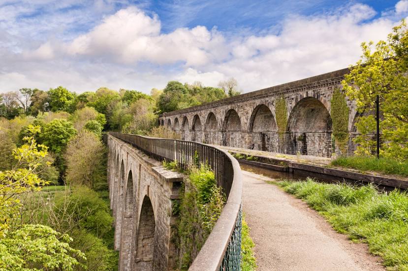
Attractions


Distance to the capital
Distance to the capital (London) is about — 250 km.