 Herbertstown
Dromagh
Roughgrove
Millstreet
County Dublin
Athy
Sallins
Ballybunnion
Fethard
Herbertstown
Dromagh
Roughgrove
Millstreet
County Dublin
Athy
Sallins
Ballybunnion
Fethard
National Opera House on the map, Wexford, Ireland
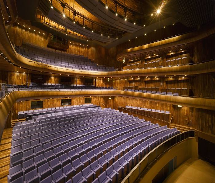
Photo
Where is located National Opera House
National Opera House — local attraction, which is located at High St, Ferrybank South, Wexford, Y35 FEP3, Ireland and belongs to the category — theatre. Average visitor rating for this place — 4.8 (according to 876 ratings, information from open sources and relevant for 2022).
Exact location — National Opera House, marked on the map with a red marker.
You can get directions to National Opera House on the map from your location.
What else is interesting in Wexford? You can see all the sights if you go to the city page.
Coordinates
National Opera House, Ireland coordinates in decimal format: latitude — 52.337987492398824, longitude — -6.462342691965117. When converted to degrees, minutes, seconds National Opera House has the following coordinates: 52°20′16.75 north latitude and -6°27′44.43 east longitude.
Nearby cities
The largest cities that are located nearby:
- Cork — 146 km
- Belfast
 (United Kingdom) — 252 km
 - Liverpool (United Kingdom) — 258 km
- Telford (United Kingdom) — 272 km
- Exeter (United Kingdom) — 272 km
- Bristol (Great Britain) — 284 km
- Worcester (Great Britain) — 288 km
- Preston (United Kingdom) — 292 km
- Stoke-on-Trent (United Kingdom) — 294 km
- Dudley (United Kingdom) — 296 km
- West Bromwich (United Kingdom) — 301 km
- Cheltenham (United Kingdom) — 303 km
- Blackburn (United Kingdom) — 303 km
- Manchester (United Kingdom) — 305 km
- Birmingham (United Kingdom) — 308 km
- Sutton Coldfield (United Kingdom) — 313 km
- Swindon (United Kingdom) — 333 km
- Coventry (United Kingdom) — 334 km
- Huddersfield (United Kingdom) — 339 km
Distance to the capital
Distance to the capital (Dublin) is about — 113 km.