Other locations
Doddington  Betteshanger
Lynton
Amesbury
Marlow
Burford
Chipping Norton
Marlborough
Cairnryan
Lydney
Betteshanger
Lynton
Amesbury
Marlow
Burford
Chipping Norton
Marlborough
Cairnryan
Lydney
Brick Lane on the map, London, United Kingdom
Comments
Where is located Brick Lane on the map, London, United Kingdom. Geographic coordinates in decimal format, as well as degrees, minutes and seconds. Photo, address and average rating of visitors who have been here.
Photo
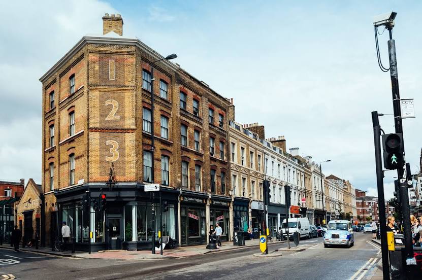
Where is located Brick Lane
Brick Lane — local attraction, which is located at London and belongs to the category — -. Average visitor rating for this place — - (according to 0 ratings, information from open sources and relevant for 2022).
Exact location — Brick Lane, marked on the map with a red marker.
You can get directions to Brick Lane on the map from your location.
What else is interesting in London? You can see all the sights if you go to the city page.
Coordinates
Brick Lane, United Kingdom coordinates in decimal format: latitude — 51.52196305019378, longitude — -0.07188739199528899. When converted to degrees, minutes, seconds Brick Lane has the following coordinates: 51°31′19.07 north latitude and -0°4′18.79 east longitude.
Nearby cities
The largest cities that are located nearby:
- Sutton — 17 km
- Watford — 24 km
- Slough — 32 km
- Basildon — 43 km
- Crawley — 44 km
- Luton — 46 km
- Chelmsford — 48 km
- Gillingham — 49 km
- Southend-on-Sea — 58 km
- Reading — 59 km
- Cambridge — 79 km
- Oxford — 82 km
- Eastbourne — 87 km
- Northampton — 97 km
- Portsmouth — 101 km
- Ipswich — 106 km
- Southampton — 111 km
- Swindon — 114 km
- Coventry — 137 km