 Herbertstown
Dromagh
Roughgrove
Millstreet
County Dublin
Athy
Sallins
Ballybunnion
Fethard
Herbertstown
Dromagh
Roughgrove
Millstreet
County Dublin
Athy
Sallins
Ballybunnion
Fethard
The Island Golf Club on the map, Swords, Ireland
Photo
Where is located The Island Golf Club
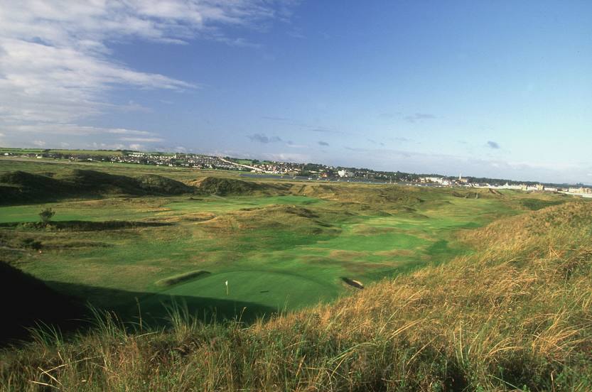
The Island Golf Club — local attraction, which is located at Corballis, Donabate, Co. Dublin, Ireland and belongs to the category — golf club. Average visitor rating for this place — 4.7 (according to 223 ratings, information from open sources and relevant for 2022).
Exact location — The Island Golf Club, marked on the map with a red marker.
You can get directions to The Island Golf Club on the map from your location.
What else is interesting in Swords? You can see all the sights if you go to the city page.
Coordinates
The Island Golf Club, Ireland coordinates in decimal format: latitude — 53.46340916918928, longitude — -6.1361850919229335. When converted to degrees, minutes, seconds The Island Golf Club has the following coordinates: 53°27′48.27 north latitude and -6°8′10.27 east longitude.
Nearby cities
The largest cities that are located nearby:
- Belfast
 (United Kingdom) — 128 km
 - Liverpool (United Kingdom) — 213 km
- Cork — 232 km
- Preston (United Kingdom) — 232 km
- Blackburn (United Kingdom) — 246 km
- Manchester (United Kingdom) — 262 km
- Telford (United Kingdom) — 267 km
- Stoke-on-Trent (United Kingdom) — 273 km
- Huddersfield (United Kingdom) — 291 km
- Glasgow (United Kingdom) — 293 km
- Dudley (United Kingdom) — 297 km
- West Bromwich (United Kingdom) — 303 km
- Worcester (Great Britain) — 305 km
- Birmingham (United Kingdom) — 311 km
- Sutton Coldfield (United Kingdom) — 311 km
- Sheffield (United Kingdom) — 313 km
- Rotherham (United Kingdom) — 320 km
- Cheltenham (United Kingdom) — 331 km
- Edinburgh (United Kingdom) — 334 km
Distance to the capital
Distance to the capital (Dublin) is about — 15 km.