
 Ardena
Apiro
Cozzuolo
Amendolea
Grimaldi
Pignano
Case Nuove Russo
Palazzo
Lido di Rivoli
Ardena
Apiro
Cozzuolo
Amendolea
Grimaldi
Pignano
Case Nuove Russo
Palazzo
Lido di Rivoli
Parco della Padula on the map, Carrara, Italy
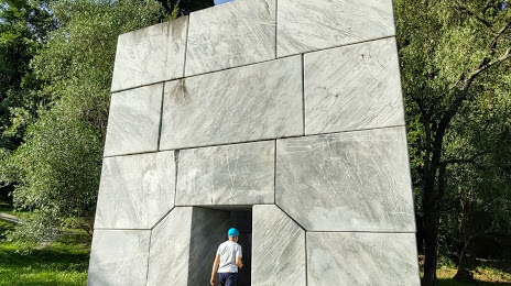
Photo
Where is located Parco della Padula
Parco della Padula — local attraction, which is located at Via Provinciale di Gragnana, 10, 54033 Carrara MS, Italy and belongs to the category — park. Average visitor rating for this place — 4.3 (according to 226 ratings, information from open sources and relevant for 2022).
Exact location — Parco della Padula, marked on the map with a red marker.
You can get directions to Parco della Padula on the map from your location.
What else is interesting in Carrara? You can see all the sights if you go to the city page.
Coordinates
Parco della Padula, Italy coordinates in decimal format: latitude — 44.08290314468767, longitude — 10.096874497878236. When converted to degrees, minutes, seconds Parco della Padula has the following coordinates: 44°4′58.45 north latitude and 10°5′48.75 east longitude.
Nearby cities
The largest cities that are located nearby:
- Livorno — 61 km
- Parma — 82 km
- Prato — 83 km
- Modena — 90 km
- Genoa — 98 km
- Florence — 99 km
- Bologna — 108 km
- Ferrara — 146 km
- Forli — 155 km
- Brescia — 162 km
- Verona — 165 km
- Milan — 169 km
- Ravenna — 170 km
- Monza — 178 km
- Bergamo — 182 km
- Novara — 190 km
- Rimini — 196 km
- Vicenza — 197 km
- Perugia — 214 km
Distance to the capital
Distance to the capital (Rome) is about — 311 km.