
 Pfarrwerfen
Rosenau am Hengstpaß
Grinzens
Sankt Martin am Wöllmißberg
Sankt Martin am Silberberg
Söding
Felixdorf
Oberpullendorf District
Fließ
Pfarrwerfen
Rosenau am Hengstpaß
Grinzens
Sankt Martin am Wöllmißberg
Sankt Martin am Silberberg
Söding
Felixdorf
Oberpullendorf District
Fließ
Strindbergmuseum Saxen on the map, Amstetten, Austria
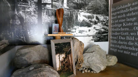
Photo
Where is located Strindbergmuseum Saxen
Strindbergmuseum Saxen — local attraction, which is located at Saxen 7, 4351 Saxen, Austria and belongs to the category — museum. Average visitor rating for this place — 4.2 (according to 6 ratings, information from open sources and relevant for 2022).
Exact location — Strindbergmuseum Saxen, marked on the map with a red marker.
You can get directions to Strindbergmuseum Saxen on the map from your location.
What else is interesting in Amstetten? You can see all the sights if you go to the city page.
Coordinates
Strindbergmuseum Saxen, Austria coordinates in decimal format: latitude — 48.207333028772794, longitude — 14.79000089801793. When converted to degrees, minutes, seconds Strindbergmuseum Saxen has the following coordinates: 48°12′26.4 north latitude and 14°47′24 east longitude.
Nearby cities
The largest cities that are located nearby:
- Linz — 47 km
- Graz — 124 km
- Salzburg — 139 km
- Bratislava
 (Slovakia) — 165 km
 - Brno
 (Czech Republic) — 173 km
 - Pilsen (Czech Republic) — 208 km
- Győr
 (Hungary) — 213 km
 - Prague (Czech Republic) — 218 km
- Regensburg
 (Germany) — 223 km
 - Ljubljana
 (Slovenia) — 230 km
 - Olomouc (Czech Republic) — 236 km
- Munich (Germany) — 243 km
- Ingolstadt (Germany) — 261 km
- Zagreb
 (Croatia) — 269 km
 - Innsbruck — 277 km
- Trieste
 (Italy) — 286 km
 - Székesfehérvár (Hungary) — 286 km
- Augsburg (Germany) — 293 km
- Ostrava (Czech Republic) — 306 km
Distance to the capital
Distance to the capital (Vienna) is about — 117 km.