 Herbertstown
Dromagh
Roughgrove
Millstreet
County Dublin
Athy
Sallins
Ballybunnion
Fethard
Herbertstown
Dromagh
Roughgrove
Millstreet
County Dublin
Athy
Sallins
Ballybunnion
Fethard
Kerry County Museum on the map, Tralee, Ireland
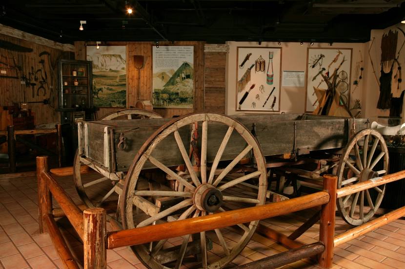
Photo
Where is located Kerry County Museum
Kerry County Museum — local attraction, which is located at Ashe Memorial Hall,, Denny St, Tralee, Co. Kerry, V92 CXE3, Ireland and belongs to the category — museum. Average visitor rating for this place — 4.6 (according to 447 ratings, information from open sources and relevant for 2022).
Exact location — Kerry County Museum, marked on the map with a red marker.
You can get directions to Kerry County Museum on the map from your location.
What else is interesting in Tralee? You can see all the sights if you go to the city page.
Coordinates
Kerry County Museum, Ireland coordinates in decimal format: latitude — 52.26692447804126, longitude — -9.706156501677029. When converted to degrees, minutes, seconds Kerry County Museum has the following coordinates: 52°16′0.93 north latitude and -9°42′22.16 east longitude.
Nearby cities
The largest cities that are located nearby:
- Cork — 93 km
- Belfast
 (United Kingdom) — 353 km
 - Liverpool (United Kingdom) — 460 km
- Exeter (United Kingdom) — 465 km
- Preston (United Kingdom) — 486 km
- Telford (United Kingdom) — 488 km
- Bristol (Great Britain) — 498 km
- Blackburn (United Kingdom) — 499 km
- Stoke-on-Trent (United Kingdom) — 507 km
- Worcester (Great Britain) — 507 km
- Manchester (United Kingdom) — 509 km
- Dudley (United Kingdom) — 513 km
- West Bromwich (United Kingdom) — 519 km
- Glasgow (United Kingdom) — 522 km
- Cheltenham (United Kingdom) — 522 km
- Birmingham (United Kingdom) — 526 km
- Sutton Coldfield (United Kingdom) — 530 km
- Huddersfield (United Kingdom) — 541 km
- Swindon (United Kingdom) — 550 km
Distance to the capital
Distance to the capital (Dublin) is about — 261 km.